Little Solander Island Area, Little Solander Island Postcode & Map in Little Solander Island
Little Solander Island Area, Little Solander Island Postcode & Map in Little Solander Island, Area outside Territorial Authority, New Zealand
Little Solander Island, Area outside Territorial Authority, New Zealand
Little Solander Island Area (estimated)
0.1 square kilometersLittle Solander Island Population (estimated)
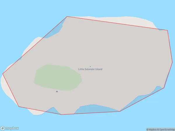
0 people live in Little Solander Island, Southland, NZLittle Solander Island Suburb Area Map (Polygon)
Little Solander Island Introduction
Little Solander Island is a small island in Fiordland National Park, Southland, New Zealand. It is part of the Southern Alps and is known for its scenic views, including mountains, forests, and waterfalls. The island is home to a variety of wildlife, including penguins, seals, and birds. It is also a popular destination for hiking and kayaking.Region
Suburb Name
Little Solander IslandLittle Solander Island Area Map (Street)

Local Authority
Area outside Territorial AuthorityFull Address
Little Solander Island, Area outside Territorial Authority, New ZealandAddress Type
IslandLittle Solander Island Suburb Map (Satellite)

Country
Main Region in AU
SouthlandLittle Solander Island Region Map

Coordinates
-46.5693373,166.862913908922 (latitude/longitude)Distances
The distance from Little Solander Island, , Area outside Territorial Authority to NZ Top 10 Cities