Glorit Area, Glorit Postcode(1148) & Map in Glorit
Glorit Area, Glorit Postcode(1148) & Map in Glorit, Auckland, New Zealand
Glorit, Auckland, New Zealand
Glorit Postcodes
Glorit Area (estimated)
51.4 square kilometersGlorit Population (estimated)
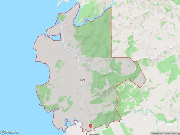
243 people live in Glorit, Rodney, NZGlorit Suburb Area Map (Polygon)
Glorit Introduction
Glorit, Warkworth, Auckland, NZ, is a suburb with a rich history and stunning architecture. It was once home to prominent families and is now known for its beautiful homes, lush gardens, and tranquil waterways. The area has a variety of shops, restaurants, and recreational facilities, making it a popular destination for both locals and tourists.Region
Major City
Suburb Name
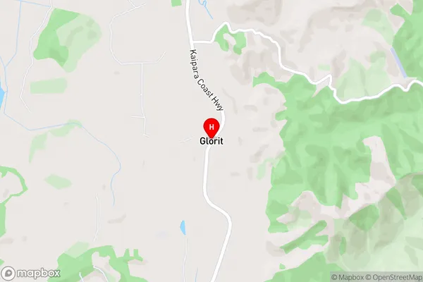
GloritGlorit Area Map (Street)
Local Authority
AucklandFull Address
Glorit, Auckland, New ZealandAddress Type
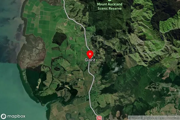
Locality in Town WarkworthGlorit Suburb Map (Satellite)
Country
Main Region in AU
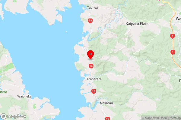
AucklandGlorit Region Map
Coordinates
-36.4744328,174.448335 (latitude/longitude)Distances
The distance from Glorit, Warkworth, Auckland to NZ Top 10 Cities