Little Hump Area, Little Hump Postcode(3500) & Map in Little Hump
Little Hump Area, Little Hump Postcode(3500) & Map in Little Hump, Thames-Coromandel District, New Zealand
Little Hump, Thames-Coromandel District, New Zealand
Little Hump Postcodes
0Little Hump Population (estimated)
0 people live in Little Hump, Waikato, NZ0Little Hump Introduction
Little Hump is a hill in the Waikato region of New Zealand. It is located about 15 km south of Hamilton and 50 km north of Cambridge. The hill has a height of 393 meters and is a popular spot for hiking, skiing, and mountain biking. The surrounding area is also known for its scenic farmland and picturesque views.Region
Suburb Name
Little HumpOther Name(s)
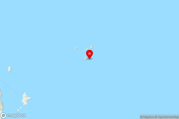
The Aldermen IslandsLittle Hump Area Map (Street)

Local Authority
Thames-Coromandel DistrictFull Address
Little Hump, Thames-Coromandel District, New ZealandAddress Type
IslandLittle Hump Suburb Map (Satellite)

Country
Main Region in AU
WaikatoLittle Hump Region Map
Coordinates
-36.9762599,176.090063333784 (latitude/longitude)Distances
The distance from Little Hump, , Thames-Coromandel District to NZ Top 10 Cities