Lady Alice Island Area, Lady Alice Island Postcode & Map in Lady Alice Island
Lady Alice Island Area, Lady Alice Island Postcode & Map in Lady Alice Island, Whangarei District, New Zealand
Lady Alice Island, Whangarei District, New Zealand
Lady Alice Island Area (estimated)
1.8 square kilometersLady Alice Island Population (estimated)
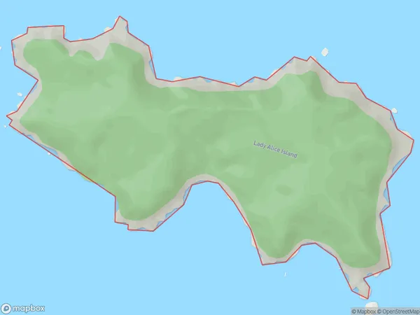
0 people live in Lady Alice Island, Northland, NZLady Alice Island Suburb Area Map (Polygon)
Lady Alice Island Introduction
Lady Alice Island is located in the Bay of Islands, Northland, New Zealand. It is a small, uninhabited island with a rich history and stunning natural beauty. The island was named after Lady Alice Molesworth, who was the wife of the governor of New Zealand during the early 19th century. The island is a popular tourist destination and is known for its clear waters, sandy beaches, and diverse marine life. Visitors can explore the island by boat or hike to the top for panoramic views of the surrounding area.Region
Suburb Name
Lady Alice IslandOther Name(s)
Marotere Islands, Hen And Chicken Islands, Big Chicken Island, Motu MukaLady Alice Island Area Map (Street)

Local Authority
Whangarei DistrictFull Address
Lady Alice Island, Whangarei District, New ZealandAddress Type
IslandLady Alice Island Suburb Map (Satellite)

Country
Main Region in AU
NorthlandLady Alice Island Region Map

Coordinates
-35.8909536,174.729183731717 (latitude/longitude)Distances
The distance from Lady Alice Island, , Whangarei District to NZ Top 10 Cities