Kundy Island Area, Kundy Island Postcode & Map in Kundy Island
Kundy Island Area, Kundy Island Postcode & Map in Kundy Island, Southland District, New Zealand
Kundy Island, Southland District, New Zealand
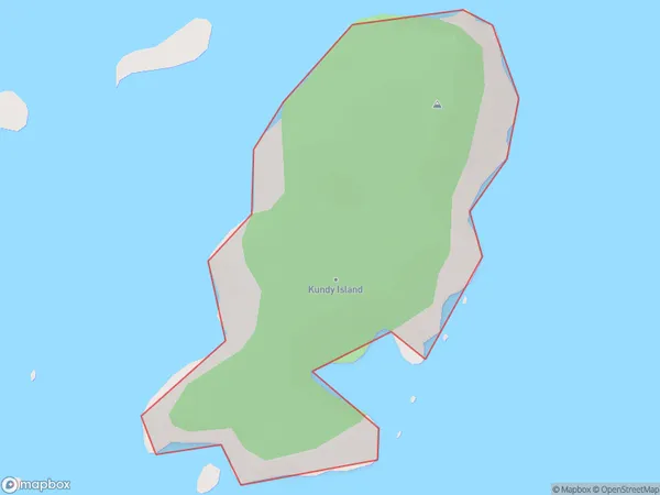
Kundy Island Area (estimated)
0.3 square kilometersKundy Island Population (estimated)
0 people live in Kundy Island, Southland, NZKundy Island Suburb Area Map (Polygon)
Kundy Island Introduction
Kundy Island is a small island in Fiordland National Park, Southland, New Zealand. It is known for its scenic beauty, including waterfalls, forests, and a variety of bird species. The island is accessible by a scenic ferry ride from Milford Sound or by a 4-hour hike from the nearby town of Te Anau. Visitors can explore the island's historic ruins, including a former whaling station and a Scottish church, and enjoy hiking, kayaking, and fishing in the surrounding waters.Region
Suburb Name
Kundy IslandOther Name(s)
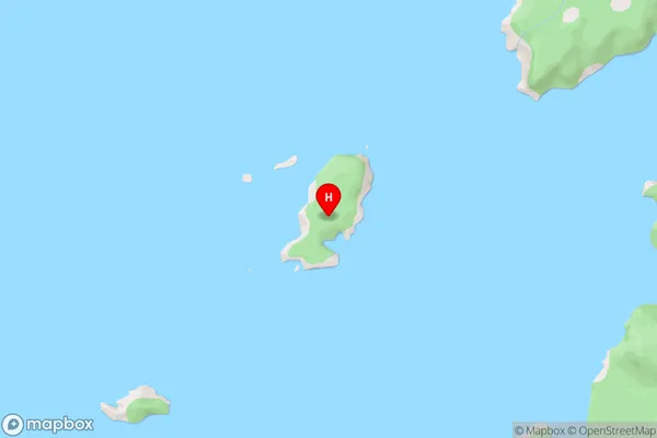
Titi / Muttonbird Islands (Maori Name: Tītī / Muttonbird Islands)Kundy Island Area Map (Street)
Local Authority
Southland DistrictFull Address
Kundy Island, Southland District, New ZealandAddress Type
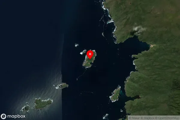
IslandKundy Island Suburb Map (Satellite)
Country
Main Region in AU
SouthlandKundy Island Region Map

Coordinates
-47.1198834,167.5529433 (latitude/longitude)Distances
The distance from Kundy Island, , Southland District to NZ Top 10 Cities