Kukutauwhao Island Area, Kukutauwhao Island Postcode & Map in Kukutauwhao Island
Kukutauwhao Island Area, Kukutauwhao Island Postcode & Map in Kukutauwhao Island, Whangarei District, New Zealand
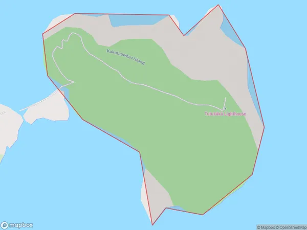
Kukutauwhao Island, Whangarei District, New Zealand
Kukutauwhao Island Area (estimated)
0.1 square kilometersKukutauwhao Island Population (estimated)
0 people live in Kukutauwhao Island, Northland, NZKukutauwhao Island Suburb Area Map (Polygon)
Kukutauwhao Island Introduction
Kukutauwhao Island is a small, uninhabited island in the Bay of Islands, Northland, New Zealand. It is known for its unique rock formations and stunning natural beauty. The island is a popular destination for day trips and hiking tours.Region
Suburb Name
Kukutauwhao IslandKukutauwhao Island Area Map (Street)

Local Authority
Whangarei DistrictFull Address
Kukutauwhao Island, Whangarei District, New ZealandAddress Type
IslandKukutauwhao Island Suburb Map (Satellite)

Country
Main Region in AU
NorthlandKukutauwhao Island Region Map

Coordinates
-35.61171855,174.54500093654 (latitude/longitude)Distances
The distance from Kukutauwhao Island, , Whangarei District to NZ Top 10 Cities