Korapuki Island Area, Korapuki Island Postcode(3500) & Map in Korapuki Island
Korapuki Island Area, Korapuki Island Postcode(3500) & Map in Korapuki Island, Thames-Coromandel District, New Zealand
Korapuki Island, Thames-Coromandel District, New Zealand
Korapuki Island Postcodes
Korapuki Island Area (estimated)
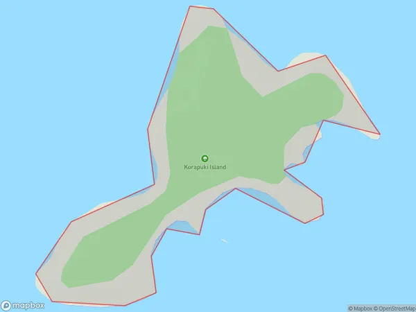
0.2 square kilometersKorapuki Island Population (estimated)
0 people live in Korapuki Island, Waikato, NZKorapuki Island Suburb Area Map (Polygon)
Korapuki Island Introduction
Korapuki Island is a small, uninhabited island in the Waikato region of New Zealand. It is known for its rugged coastline, stunning natural scenery, and diverse birdlife. The island is a popular destination for outdoor enthusiasts, including hikers, campers, and birdwatchers. It is also home to a small community of seals and is protected as a wildlife reserve.Region
Suburb Name
Korapuki IslandOther Name(s)
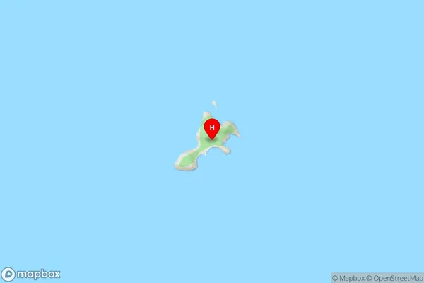
Mercury IslandsKorapuki Island Area Map (Street)
Local Authority
Thames-Coromandel DistrictFull Address
Korapuki Island, Thames-Coromandel District, New ZealandAddress Type
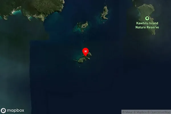
IslandKorapuki Island Suburb Map (Satellite)
Country
Main Region in AU
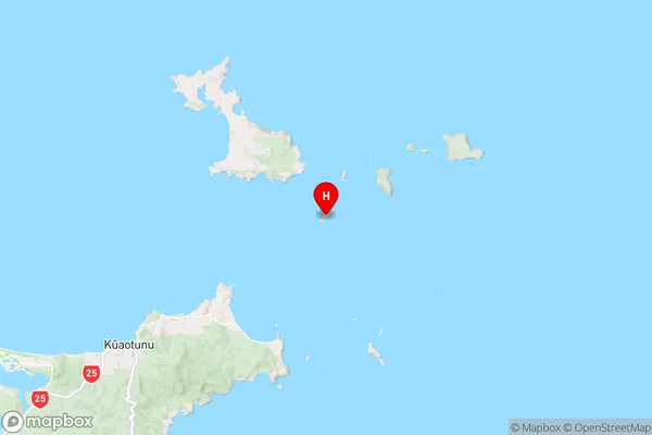
WaikatoKorapuki Island Region Map
Coordinates
-36.65891405,175.849093879882 (latitude/longitude)Distances
The distance from Korapuki Island, , Thames-Coromandel District to NZ Top 10 Cities