Kopeka Island Area, Kopeka Island Postcode & Map in Kopeka Island
Kopeka Island Area, Kopeka Island Postcode & Map in Kopeka Island, Southland District, New Zealand
Kopeka Island, Southland District, New Zealand
Kopeka Island Area (estimated)
0.0 square kilometersKopeka Island Population (estimated)
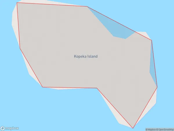
0 people live in Kopeka Island, Southland, NZKopeka Island Suburb Area Map (Polygon)
Kopeka Island Introduction
Kopeka Island is a small, uninhabited island in Fiordland National Park, Southland, New Zealand. It is located in the southern part of Lake Wakatipu and is accessible by a short boat ride from Te Anau. The island is known for its stunning natural beauty, including rugged mountains, dense forests, and crystal-clear lakes. It is a popular destination for hiking, camping, and wildlife viewing, with a variety of bird species and occasional sightings of seals and dolphins.Region
Suburb Name
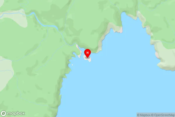
Kopeka IslandKopeka Island Area Map (Street)
Local Authority
Southland DistrictFull Address
Kopeka Island, Southland District, New ZealandAddress Type
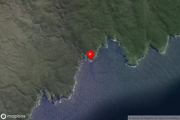
IslandKopeka Island Suburb Map (Satellite)
Country
Main Region in AU
SouthlandKopeka Island Region Map

Coordinates
-47.1373986,167.9395899 (latitude/longitude)Distances
The distance from Kopeka Island, , Southland District to NZ Top 10 Cities