Koi Island Area, Koi Island Postcode(0622) & Map in Koi Island
Koi Island Area, Koi Island Postcode(0622) & Map in Koi Island, Auckland, New Zealand
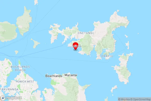
Koi Island, Auckland, New Zealand
Koi Island Postcodes
0Koi Island Population (estimated)
0 people live in Koi Island, Waiheke, NZ0Koi Island Introduction
Koi Island is a picturesque island in the Hauraki Gulf, just off the coast of Auckland, New Zealand. It is a popular destination for tourists and locals alike, with a variety of activities to enjoy, including swimming, hiking, and picnicking. The island is home to a large population of koi fish, which are a symbol of good luck in Japanese culture. Koi Island also has a beautiful beach, a historic lighthouse, and a variety of bird species.Region
Major City
Suburb Name
Koi IslandOther Name(s)
Hauraki GulfKoi Island Area Map (Street)

Local Authority
AucklandFull Address
Koi Island, Auckland, New ZealandAddress Type
IslandKoi Island Suburb Map (Satellite)

Country
Main Region in AU
AucklandKoi Island Region Map
Coordinates
-36.8271672,175.055373084305 (latitude/longitude)Distances
The distance from Koi Island, , Auckland to NZ Top 10 Cities