Kauwahaia Island Area, Kauwahaia Island Postcode(1148) & Map in Kauwahaia Island
Kauwahaia Island Area, Kauwahaia Island Postcode(1148) & Map in Kauwahaia Island, Auckland, New Zealand
Kauwahaia Island, Auckland, New Zealand
Kauwahaia Island Postcodes
Kauwahaia Island Area (estimated)
0.0 square kilometersKauwahaia Island Population (estimated)
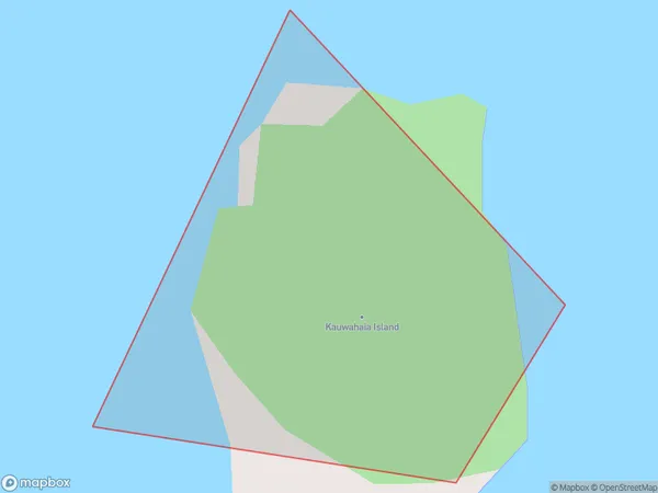
0 people live in Kauwahaia Island, Waitākere Ranges, NZKauwahaia Island Suburb Area Map (Polygon)
Kauwahaia Island Introduction
Kauwahaia Island is a small, uninhabited island located in the Hauraki Gulf, off the coast of Auckland, New Zealand. It is known for its stunning natural beauty, including rugged cliffs, pristine beaches, and diverse marine life. The island is a popular destination for hiking, camping, and snorkeling, and is part of the Waitemata Harbour Regional Park.Region
Major City
Suburb Name
Kauwahaia IslandOther Name(s)
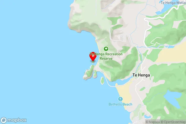
O'Neill BayKauwahaia Island Area Map (Street)
Local Authority
AucklandFull Address
Kauwahaia Island, Auckland, New ZealandAddress Type
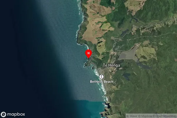
IslandKauwahaia Island Suburb Map (Satellite)
Country
Main Region in AU
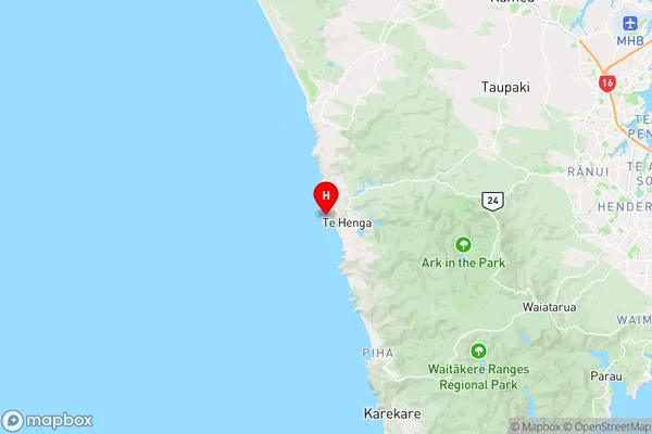
AucklandKauwahaia Island Region Map
Coordinates
-36.8867404,174.436960629732 (latitude/longitude)Distances
The distance from Kauwahaia Island, , Auckland to NZ Top 10 Cities