Karewa Island Area, Karewa Island Postcode & Map in Karewa Island
Karewa Island Area, Karewa Island Postcode & Map in Karewa Island, Area outside Territorial Authority, New Zealand
Karewa Island, Area outside Territorial Authority, New Zealand
Karewa Island Area (estimated)
0.1 square kilometersKarewa Island Population (estimated)
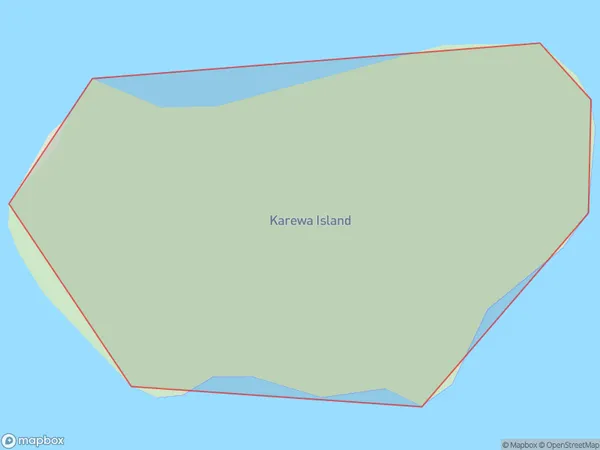
0 people live in Karewa Island, Bay of Plenty, NZKarewa Island Suburb Area Map (Polygon)
Karewa Island Introduction
Karewa Island is located in the Bay of Plenty, New Zealand. It is a small, uninhabited island with a rich history and stunning natural features. The island was once home to a Māori tribe and has archaeological sites that showcase their culture and traditions. Karewa Island is also known for its wildlife, including native birds, reptiles, and marine mammals. The island is accessible by boat and offers visitors the opportunity to explore its beaches, forests, and caves.Region
Suburb Name
Karewa IslandOther Name(s)
Bay Of PlentyKarewa Island Area Map (Street)

Local Authority
Area outside Territorial AuthorityFull Address
Karewa Island, Area outside Territorial Authority, New ZealandAddress Type
IslandKarewa Island Suburb Map (Satellite)

Country
Main Region in AU
Bay of PlentyKarewa Island Region Map

Coordinates
-37.53000525,176.131391442779 (latitude/longitude)Distances
The distance from Karewa Island, , Area outside Territorial Authority to NZ Top 10 Cities