Karaka Island Area, Karaka Island Postcode & Map in Karaka Island
Karaka Island Area, Karaka Island Postcode & Map in Karaka Island, Far North District, New Zealand
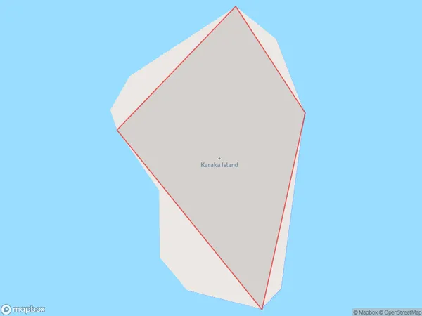
Karaka Island, Far North District, New Zealand
Karaka Island Area (estimated)
0.0 square kilometersKaraka Island Population (estimated)
0 people live in Karaka Island, Northland, NZKaraka Island Suburb Area Map (Polygon)
Karaka Island Introduction
Karaka Island is a small island located off the coast of Northland, New Zealand. It is known for its stunning natural beauty, including rugged cliffs, pristine beaches, and diverse wildlife. The island is a popular destination for hiking, camping, and birdwatching, with several walking tracks and campgrounds available for visitors to enjoy.Region
Suburb Name
Karaka IslandKaraka Island Area Map (Street)

Local Authority
Far North DistrictFull Address
Karaka Island, Far North District, New ZealandAddress Type
IslandKaraka Island Suburb Map (Satellite)

Country
Main Region in AU
NorthlandKaraka Island Region Map

Coordinates
-34.99023255,173.818217478208 (latitude/longitude)Distances
The distance from Karaka Island, , Far North District to NZ Top 10 Cities