Kanetetoe Island Area, Kanetetoe Island Postcode & Map in Kanetetoe Island
Kanetetoe Island Area, Kanetetoe Island Postcode & Map in Kanetetoe Island, Southland District, New Zealand
Kanetetoe Island, Southland District, New Zealand
Kanetetoe Island Area (estimated)
0.0 square kilometersKanetetoe Island Population (estimated)
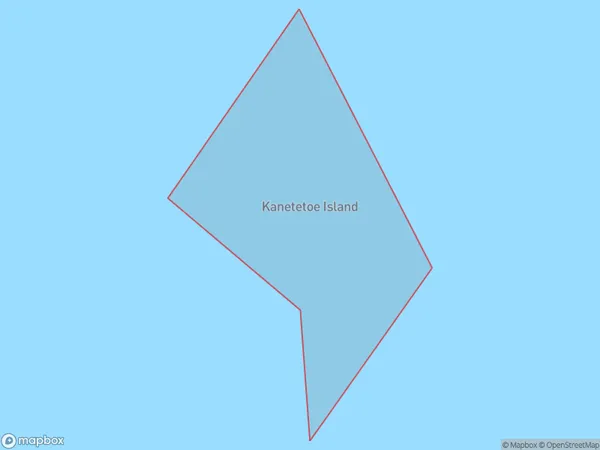
0 people live in Kanetetoe Island, Southland, NZKanetetoe Island Suburb Area Map (Polygon)
Kanetetoe Island Introduction
Kanetetoe Island is a small island in Fiordland National Park, Southland, New Zealand. It is known for its stunning natural beauty, including lush rainforests, waterfalls, and crystal-clear lakes. The island is home to a variety of wildlife, including kea, tui, and penguins. Kanetetoe Island is accessible by a scenic ferry ride from Milford Sound or by a 4-hour hike from the nearby village of Te Anau.Region
Suburb Name
Kanetetoe IslandKanetetoe Island Area Map (Street)

Local Authority
Southland DistrictFull Address
Kanetetoe Island, Southland District, New ZealandAddress Type
IslandKanetetoe Island Suburb Map (Satellite)

Country
Main Region in AU
SouthlandKanetetoe Island Region Map

Coordinates
-46.881093,168.28396857824 (latitude/longitude)Distances
The distance from Kanetetoe Island, , Southland District to NZ Top 10 Cities