Kaiwhai Island Area, Kaiwhai Island Postcode(3900) & Map in Kaiwhai Island
Kaiwhai Island Area, Kaiwhai Island Postcode(3900) & Map in Kaiwhai Island, Otorohanga District, New Zealand
Kaiwhai Island, Otorohanga District, New Zealand
Kaiwhai Island Postcodes
Kaiwhai Island Area (estimated)
0.0 square kilometersKaiwhai Island Population (estimated)
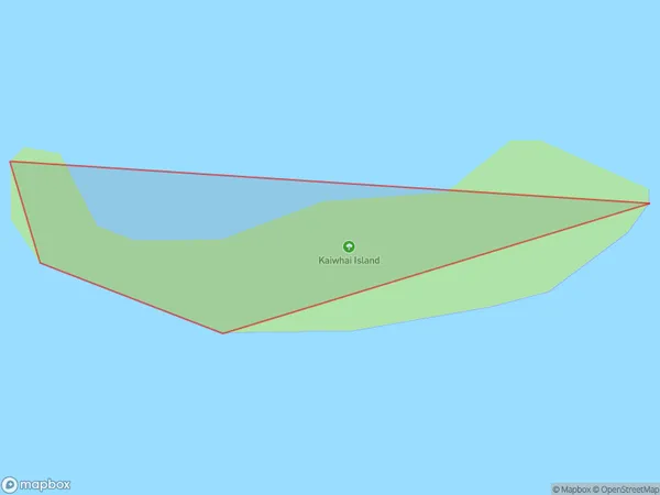
0 people live in Kaiwhai Island, Waikato, NZKaiwhai Island Suburb Area Map (Polygon)
Kaiwhai Island Introduction
Kaiwhai Island is a small, uninhabited island in the Waikato region of New Zealand. It is known for its stunning natural beauty, including rugged cliffs, sandy beaches, and lush forests. The island is a popular destination for outdoor activities such as hiking, kayaking, and birdwatching. Kaiwhai Island is also home to a variety of wildlife, including native birds, seals, and penguins. The island has a rich history and was once used as a penal settlement. Today, it is a protected area and is accessible to visitors by boat from the nearby town of Otorohanga.Region
Suburb Name
Kaiwhai IslandOther Name(s)
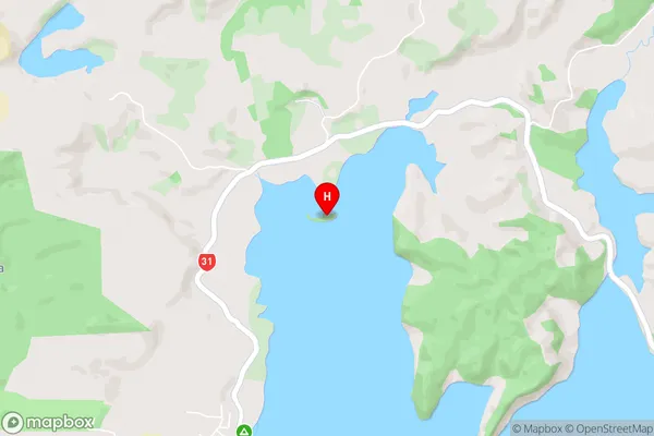
Te Wharu BayKaiwhai Island Area Map (Street)
Local Authority
Otorohanga District (Maori Name: Ōtorohanga District)Full Address
Kaiwhai Island, Otorohanga District, New ZealandAddress Type
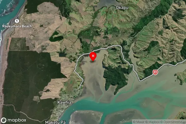
IslandKaiwhai Island Suburb Map (Satellite)
Country
Main Region in AU
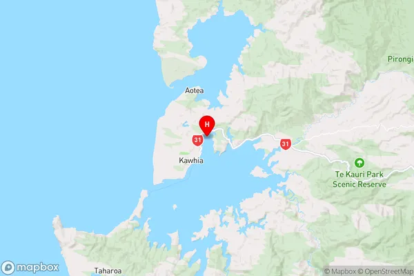
WaikatoKaiwhai Island Region Map
Coordinates
-38.04751065,174.834152060477 (latitude/longitude)Distances
The distance from Kaiwhai Island, , Otorohanga District to NZ Top 10 Cities