Kaipohue Island Area, Kaipohue Island Postcode & Map in Kaipohue Island
Kaipohue Island Area, Kaipohue Island Postcode & Map in Kaipohue Island, Far North District, New Zealand
Kaipohue Island, Far North District, New Zealand
Kaipohue Island Area (estimated)
0.2 square kilometersKaipohue Island Population (estimated)
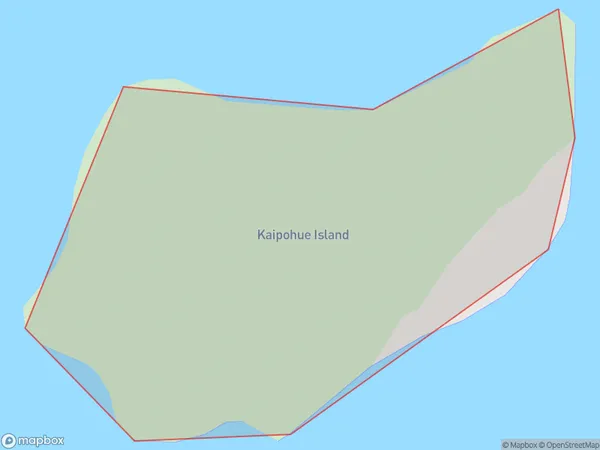
0 people live in Kaipohue Island, Te Hiku Community, NZKaipohue Island Suburb Area Map (Polygon)
Kaipohue Island Introduction
Kaipohue Island is located in the Bay of Islands in Northland, New Zealand. It is a small, uninhabited island with a rich history and stunning natural beauty. The island is known for its ancient stone fortifications, including a defensive wall and a bastion. Kaipohue Island also has a variety of wildlife, including native birds, bats, and reptiles. Visitors can explore the island by hiking, kayaking, or snorkeling and enjoy the peaceful and tranquil environment.Region
Major City
Suburb Name
Kaipohue IslandOther Name(s)
Taraere BayKaipohue Island Area Map (Street)

Local Authority
Far North DistrictFull Address
Kaipohue Island, Far North District, New ZealandAddress Type
IslandKaipohue Island Suburb Map (Satellite)

Country
Main Region in AU
NorthlandKaipohue Island Region Map

Coordinates
-34.58627805,172.967773237474 (latitude/longitude)Distances
The distance from Kaipohue Island, , Far North District to NZ Top 10 Cities