Kaimohu Island Area, Kaimohu Island Postcode & Map in Kaimohu Island
Kaimohu Island Area, Kaimohu Island Postcode & Map in Kaimohu Island, Southland District, New Zealand
Kaimohu Island, Southland District, New Zealand
Kaimohu Island Area (estimated)
0.1 square kilometersKaimohu Island Population (estimated)
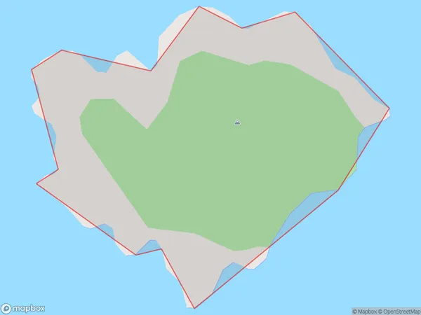
0 people live in Kaimohu Island, Southland, NZKaimohu Island Suburb Area Map (Polygon)
Kaimohu Island Introduction
Kaimohu Island is located in Fiordland National Park in Southland, New Zealand. It is known for its stunning natural beauty, including rugged mountain landscapes, crystal-clear lakes, and diverse wildlife. The island is a popular destination for hiking, camping, and fishing, and is home to the Kaimohu Track, a challenging hiking trail that leads to the summit of the island's main peak, Mount Kaimohu.Region
Suburb Name
Kaimohu IslandOther Name(s)
Titi / Muttonbird Islands (Maori Name: Tītī / Muttonbird Islands)Kaimohu Island Area Map (Street)
Local Authority
Southland DistrictFull Address
Kaimohu Island, Southland District, New ZealandAddress Type
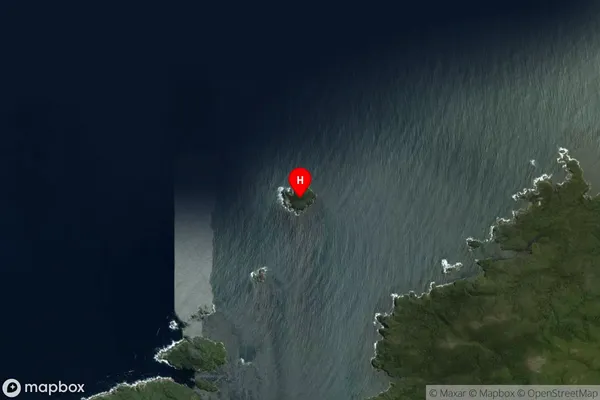
IslandKaimohu Island Suburb Map (Satellite)
Country
Main Region in AU
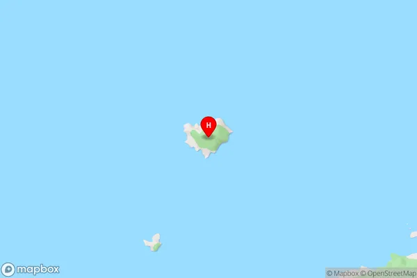
SouthlandKaimohu Island Region Map

Coordinates
-47.2029791,167.4532193 (latitude/longitude)Distances
The distance from Kaimohu Island, , Southland District to NZ Top 10 Cities