Kaikoura Island / Selwyn Island Area, Kaikoura Island / Selwyn Island Postcode(0622) & Map in Kaikoura Island / Selwyn Island
Kaikoura Island / Selwyn Island Area, Kaikoura Island / Selwyn Island Postcode(0622) & Map in Kaikoura Island / Selwyn Island, Auckland, New Zealand
Kaikoura Island / Selwyn Island, Auckland, New Zealand
Kaikoura Island / Selwyn Island Postcodes
Kaikoura Island / Selwyn Island Area (estimated)
6.4 square kilometersKaikoura Island / Selwyn Island Population (estimated)
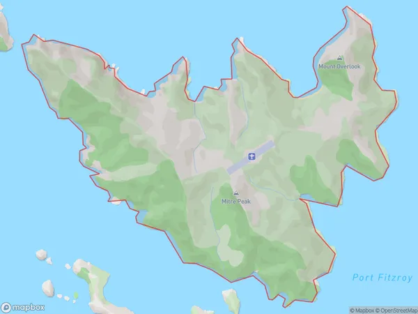
10 people live in Kaikoura Island / Selwyn Island, Aotea Great Barrier, NZKaikoura Island / Selwyn Island Suburb Area Map (Polygon)

Kaikoura Island / Selwyn Island Introduction
Kaikoura Island / Selwyn Island is a popular tourist destination located off the coast of Auckland, New Zealand. It is known for its diverse marine life, including whales, dolphins, and seals. Visitors can take guided tours to see these animals up close, as well as explore the rugged coastline and picturesque landscapes. The island also has a rich cultural history, with several ancient Maori settlements and a historic lighthouse.Region
Major City
Suburb Name
Kaikoura Island / Selwyn Island (Maori Name: Kaikōura Island / Selwyn Island)Other Name(s)
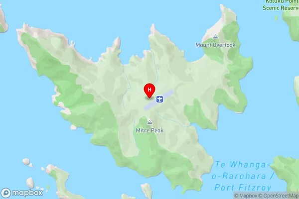
Kaikoura Island, Selwyn Island, Hauraki GulfKaikoura Island / Selwyn Island Area Map (Street)

Local Authority
AucklandFull Address
Kaikoura Island / Selwyn Island, Auckland, New ZealandAddress Type
IslandKaikoura Island / Selwyn Island Suburb Map (Satellite)

Country
Main Region in AU
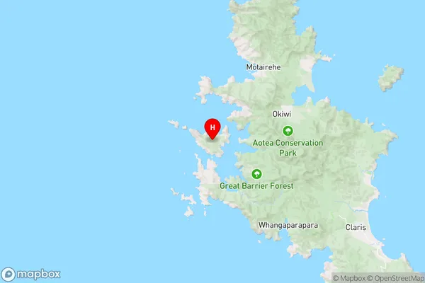
AucklandKaikoura Island / Selwyn Island Region Map

Coordinates
-36.17679635,175.325730035548 (latitude/longitude)Distances
The distance from Kaikoura Island / Selwyn Island, , Auckland to NZ Top 10 Cities