Kahangaro Island Area, Kahangaro Island Postcode & Map in Kahangaro Island
Kahangaro Island Area, Kahangaro Island Postcode & Map in Kahangaro Island, Far North District, New Zealand
Kahangaro Island, Far North District, New Zealand
Kahangaro Island Area (estimated)
0.1 square kilometersKahangaro Island Population (estimated)
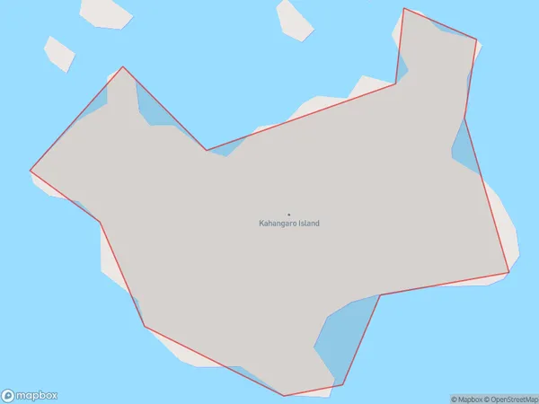
0 people live in Kahangaro Island, Northland, NZKahangaro Island Suburb Area Map (Polygon)
Kahangaro Island Introduction
Kahangaro Island is a small, uninhabited island in the Bay of Islands, Northland, New Zealand. It is known for its population of kahangaroos, which can be seen roaming freely on the island. The island is also home to a variety of bird species, including terns, gulls, and penguins. Visitors can reach the island by boat from Paihia or Russell.Region
Suburb Name
Kahangaro IslandOther Name(s)
Cavalli Islands, Cavalli PassageKahangaro Island Area Map (Street)

Local Authority
Far North DistrictFull Address
Kahangaro Island, Far North District, New ZealandAddress Type
IslandKahangaro Island Suburb Map (Satellite)

Country
Main Region in AU
NorthlandKahangaro Island Region Map

Coordinates
-35.03165095,173.943721571345 (latitude/longitude)Distances
The distance from Kahangaro Island, , Far North District to NZ Top 10 Cities