Ardgowan Area, Ardgowan Postcode(9492) & Map in Ardgowan
Ardgowan Area, Ardgowan Postcode(9492) & Map in Ardgowan, Waitaki District, New Zealand
Ardgowan, Waitaki District, New Zealand
Ardgowan Area (estimated)
3.0 square kilometersArdgowan Population (estimated)
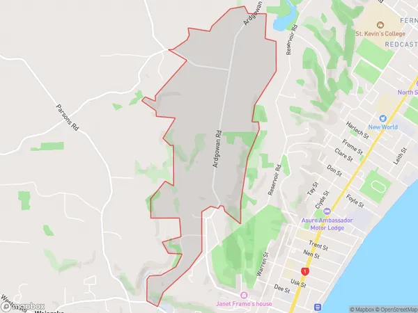
143 people live in Ardgowan, Otago, NZArdgowan Suburb Area Map (Polygon)
Ardgowan Introduction
Ardgowan is a small rural town located in the Otago region of New Zealand, 15 km south of Oamaru. It is known for its historic stone buildings and scenic surroundings, including the Ardgowan Forest and the Blue Mountains. The town has a population of around 300 people and is a popular destination for tourists and outdoor enthusiasts.Region
Major City
Suburb Name
ArdgowanOther Name(s)
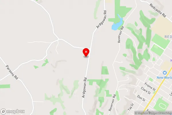
Oamaru CentralArdgowan Area Map (Street)
Local Authority
Waitaki DistrictFull Address
Ardgowan, Waitaki District, New ZealandAddress Type
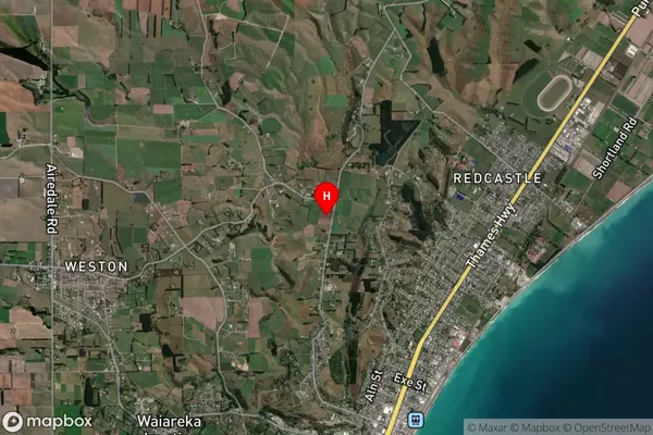
Suburb in Town OamaruArdgowan Suburb Map (Satellite)
Country
Main Region in AU
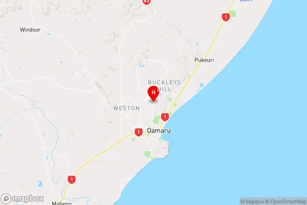
OtagoArdgowan Region Map
Coordinates
-45.0732931,170.9613848 (latitude/longitude)Distances
The distance from Ardgowan, Oamaru, Waitaki District to NZ Top 10 Cities