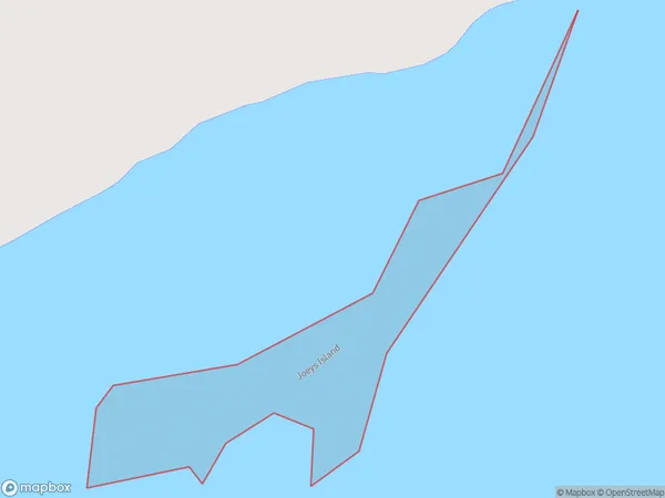
Joeys Island Area, Joeys Island Postcode(9814) & Map in Joeys Island
Joeys Island Area, Joeys Island Postcode(9814) & Map in Joeys Island, Invercargill City, New Zealand
Joeys Island, Invercargill City, New Zealand
Joeys Island Postcodes
Joeys Island Area (estimated)
0.1 square kilometersJoeys Island Population (estimated)
0 people live in Joeys Island, Invercargill City, NZJoeys Island Suburb Area Map (Polygon)
Joeys Island Introduction
Joeys Island is a small island located in Fiordland National Park, Southland, New Zealand. It is known for its stunning natural beauty, including lush forests, waterfalls, and crystal-clear lakes. The island is home to a variety of wildlife, including kea, tui, and penguins. Visitors can reach the island by boat or hike through a scenic trail. It is a popular destination for outdoor enthusiasts and nature lovers.Region
Major City
Suburb Name
Joeys IslandOther Name(s)
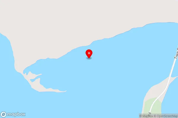
Bluff HarbourJoeys Island Area Map (Street)
Local Authority
Invercargill CityFull Address
Joeys Island, Invercargill City, New ZealandAddress Type
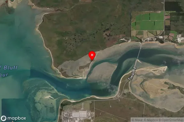
IslandJoeys Island Suburb Map (Satellite)
Country
Main Region in AU
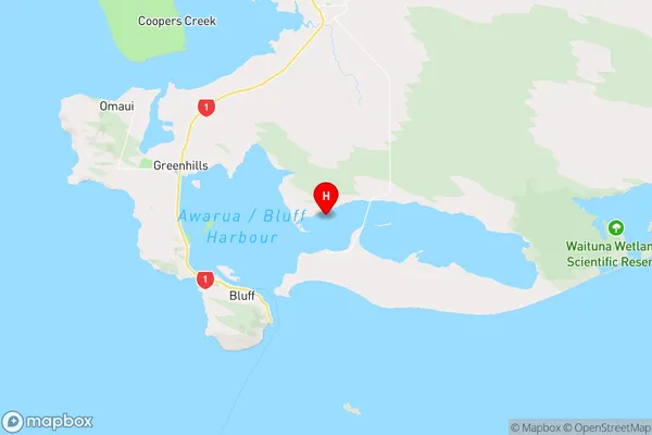
SouthlandJoeys Island Region Map
Coordinates
-46.56744945,168.393035026208 (latitude/longitude)Distances
The distance from Joeys Island, , Invercargill City to NZ Top 10 Cities