Jacky Lee Island Area, Jacky Lee Island Postcode & Map in Jacky Lee Island
Jacky Lee Island Area, Jacky Lee Island Postcode & Map in Jacky Lee Island, Southland District,
Jacky Lee Island, Southland District,
Jacky Lee Island Area (estimated)
0.4 square kilometersJacky Lee Island Population (estimated)
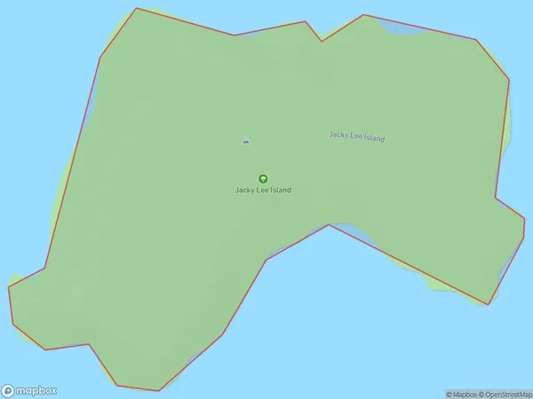
0 people live in Jacky Lee Island, Brighton, NZJacky Lee Island Suburb Area Map (Polygon)
Jacky Lee Island Introduction
Jacky Lee Island is located in the southern part of New Zealand's Otago region. It is a small, rocky island with a population of around 100 people. The island is known for its stunning natural beauty, including rugged cliffs, picturesque beaches, and diverse wildlife. The island has a rich history, with evidence of early Māori settlement and European exploration. It is also home to a small community of fishermen and farmers who rely on the sea for their livelihood.Region
Major City
Suburb Name
Jacky Lee IslandOther Name(s)
Titi / Muttonbird Islands, Pukeokaoka (Maori Name: Tītī / Muttonbird Islands, Pukeokaoka)Jacky Lee Island Area Map (Street)
Local Authority
Southland DistrictFull Address
Jacky Lee Island, Southland District,Address Type
IslandJacky Lee Island Suburb Map (Satellite)
Country
Main Region in AU
OtagoJacky Lee Island Region Map
Coordinates
0,0 (latitude/longitude)Distances
The distance from Jacky Lee Island, , Southland District to NZ Top 10 Cities