Isolde Island Area, Isolde Island Postcode(9643) & Map in Isolde Island
Isolde Island Area, Isolde Island Postcode(9643) & Map in Isolde Island, Southland District, New Zealand
Isolde Island, Southland District, New Zealand
Isolde Island Postcodes
Isolde Island Area (estimated)
0.0 square kilometersIsolde Island Population (estimated)
0 people live in Isolde Island, Fiordland Community, NZIsolde Island Suburb Area Map (Polygon)
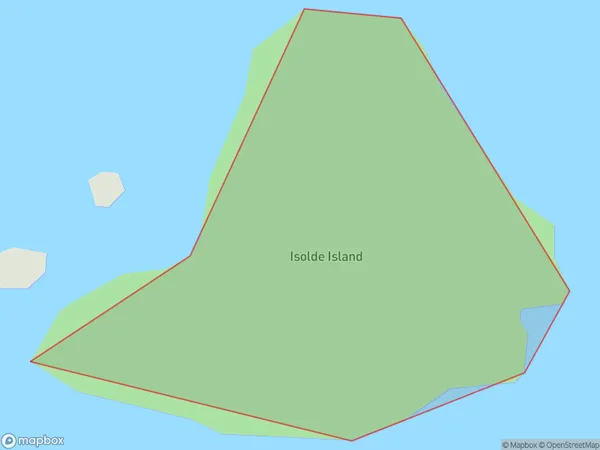
Isolde Island Introduction
Isolde Island is a small island in Fiordland, Southland, New Zealand. It is part of the Foveaux Strait group and is surrounded by stunning scenery. The island is home to a variety of wildlife, including seals, penguins, and kea. Visitors can reach the island by boat or helicopter and enjoy hiking, fishing, and kayaking.Region
Major City
Suburb Name
Isolde IslandOther Name(s)
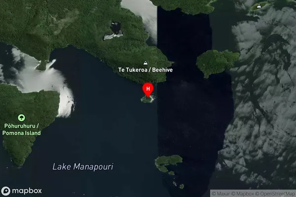
Lake ManapouriIsolde Island Area Map (Street)
Local Authority
Southland DistrictFull Address
Isolde Island, Southland District, New ZealandAddress Type
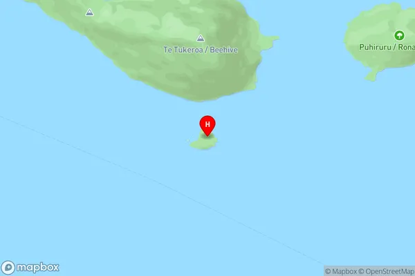
IslandIsolde Island Suburb Map (Satellite)
Country
Main Region in AU
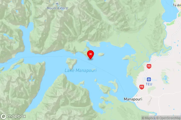
SouthlandIsolde Island Region Map
Coordinates
-45.5024543,167.516697944434 (latitude/longitude)Distances
The distance from Isolde Island, , Southland District to NZ Top 10 Cities