Iona Island Area, Iona Island Postcode & Map in Iona Island
Iona Island Area, Iona Island Postcode & Map in Iona Island, Southland District, New Zealand
Iona Island, Southland District, New Zealand
Iona Island Area (estimated)
0.1 square kilometersIona Island Population (estimated)
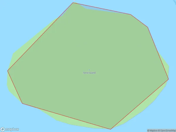
0 people live in Iona Island, Southland, NZIona Island Suburb Area Map (Polygon)
Iona Island Introduction
Iona Island is a small, uninhabited island located in the Foveaux Strait, Southland, New Zealand. It is part of the Stewart Island/Rakiura group and is known for its stunning natural beauty, including rugged cliffs, sandy beaches, and diverse wildlife. The island is a popular destination for day trips and outdoor activities such as hiking, kayaking, and birdwatching.Region
Suburb Name
Iona IslandOther Name(s)
Paterson Inlet/Whaka a Te WeraIona Island Area Map (Street)

Local Authority
Southland DistrictFull Address
Iona Island, Southland District, New ZealandAddress Type
IslandIona Island Suburb Map (Satellite)

Country
Main Region in AU
SouthlandIona Island Region Map

Coordinates
-46.9072477,168.122445347924 (latitude/longitude)Distances
The distance from Iona Island, , Southland District to NZ Top 10 Cities