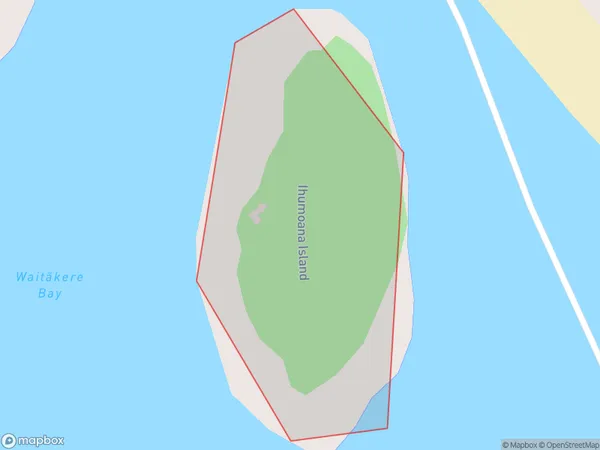
Ihumoana Island Area, Ihumoana Island Postcode(0614) & Map in Ihumoana Island
Ihumoana Island Area, Ihumoana Island Postcode(0614) & Map in Ihumoana Island, Auckland, New Zealand
Ihumoana Island, Auckland, New Zealand
Ihumoana Island Postcodes
Ihumoana Island Area (estimated)
0.0 square kilometersIhumoana Island Population (estimated)
0 people live in Ihumoana Island, Waitākere Ranges, NZIhumoana Island Suburb Area Map (Polygon)
Ihumoana Island Introduction
Ihumoana Island is a privately owned island in the Hauraki Gulf, near Auckland, New Zealand. It is a popular destination for day trips, with visitors able to explore the island's beaches, forests, and wildlife. The island also has a historic stone fort, built by the British in the 18th century, and a small population of native birds.Region
Major City
Suburb Name
Ihumoana IslandOther Name(s)
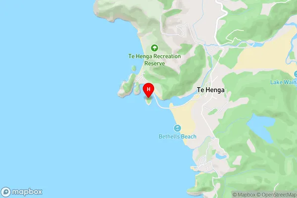
Waitakere Bay (Maori Name: Waitākere Bay)Ihumoana Island Area Map (Street)
Local Authority
AucklandFull Address
Ihumoana Island, Auckland, New ZealandAddress Type
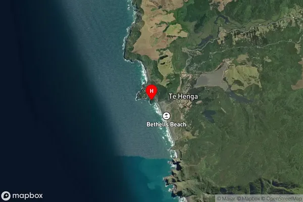
IslandIhumoana Island Suburb Map (Satellite)
Country
Main Region in AU
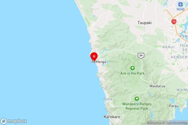
AucklandIhumoana Island Region Map
Coordinates
-36.8909086,174.439517245003 (latitude/longitude)Distances
The distance from Ihumoana Island, , Auckland to NZ Top 10 Cities