Huirapa Island Area, Huirapa Island Postcode & Map in Huirapa Island
Huirapa Island Area, Huirapa Island Postcode & Map in Huirapa Island, Southland District, New Zealand
Huirapa Island, Southland District, New Zealand
Huirapa Island Area (estimated)
0.1 square kilometersHuirapa Island Population (estimated)
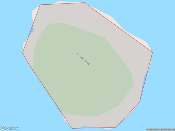
0 people live in Huirapa Island, Southland, NZHuirapa Island Suburb Area Map (Polygon)
Huirapa Island Introduction
Huirapa Island is a 100-hectare island in Fiordland National Park, Southland, New Zealand. It is known for its rugged coastline, dense forest, and abundant birdlife. The island is accessible by a 30-minute boat ride from the town of Te Anau. Visitors can explore the island's walking tracks, camp overnight, and enjoy fishing and kayaking in the surrounding waters. Huirapa Island is a popular destination for nature enthusiasts and outdoor enthusiasts alike.Region
Suburb Name
Huirapa IslandOther Name(s)
Putauhina Nuggets, Titi / Muttonbird Islands (Maori Name: Putauhina Nuggets, Tītī / Muttonbird Islands)Huirapa Island Area Map (Street)

Local Authority
Southland DistrictFull Address
Huirapa Island, Southland District, New ZealandAddress Type
IslandHuirapa Island Suburb Map (Satellite)

Country
Main Region in AU
SouthlandHuirapa Island Region Map

Coordinates
-47.226705,167.372457326741 (latitude/longitude)Distances
The distance from Huirapa Island, , Southland District to NZ Top 10 Cities