Houseroof Rock Area, Houseroof Rock Postcode & Map in Houseroof Rock
Houseroof Rock Area, Houseroof Rock Postcode & Map in Houseroof Rock, Area outside Territorial Authority, New Zealand
Houseroof Rock, Area outside Territorial Authority, New Zealand
Houseroof Rock Area (estimated)
0.0 square kilometersHouseroof Rock Population (estimated)
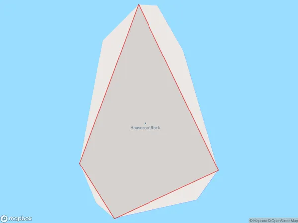
0 people live in Houseroof Rock, Southland, NZHouseroof Rock Suburb Area Map (Polygon)
Houseroof Rock Introduction
Houseroof Rock is a rock formation in Southland, New Zealand, that resembles a roof. It is located near the town of Gore and is a popular tourist attraction. The rock formation is about 15 meters high and has a flat top. It was formed by volcanic activity and has been eroded over time by weathering and water.Region
Suburb Name
Houseroof RockHouseroof Rock Area Map (Street)

Local Authority
Area outside Territorial AuthorityFull Address
Houseroof Rock, Area outside Territorial Authority, New ZealandAddress Type
IslandHouseroof Rock Suburb Map (Satellite)

Country
Main Region in AU
SouthlandHouseroof Rock Region Map

Coordinates
-44.8825085,167.257492813958 (latitude/longitude)Distances
The distance from Houseroof Rock, , Area outside Territorial Authority to NZ Top 10 Cities