Horuhoru Rock (Gannet Rock) Area, Horuhoru Rock (Gannet Rock) Postcode(0622) & Map in Horuhoru Rock (Gannet Rock)
Horuhoru Rock (Gannet Rock) Area, Horuhoru Rock (Gannet Rock) Postcode(0622) & Map in Horuhoru Rock (Gannet Rock), Auckland, New Zealand
Horuhoru Rock (Gannet Rock), Auckland, New Zealand
Horuhoru Rock (Gannet Rock) Postcodes
Horuhoru Rock (Gannet Rock) Area (estimated)
0.0 square kilometersHoruhoru Rock (Gannet Rock) Population (estimated)
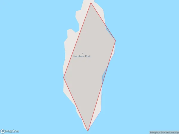
0 people live in Horuhoru Rock (Gannet Rock), Waiheke, NZHoruhoru Rock (Gannet Rock) Suburb Area Map (Polygon)
Horuhoru Rock (Gannet Rock) Introduction
Horuhoru Rock, also known as Gannet Rock, is a small island located off the coast of Auckland, New Zealand. It is a popular spot for birdwatching, with a large colony of gannets nesting on the rock. The island is also home to a variety of other seabirds, including terns and shearwaters. Access to the island is via a short boat ride from Auckland's North Shore.Region
Major City
Suburb Name
Horuhoru Rock (Gannet Rock)Other Name(s)
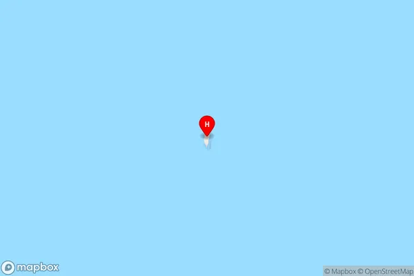
Gannet Rock, Horuhoru Rock, Hauraki GulfHoruhoru Rock (Gannet Rock) Area Map (Street)
Local Authority
AucklandFull Address
Horuhoru Rock (Gannet Rock), Auckland, New ZealandAddress Type
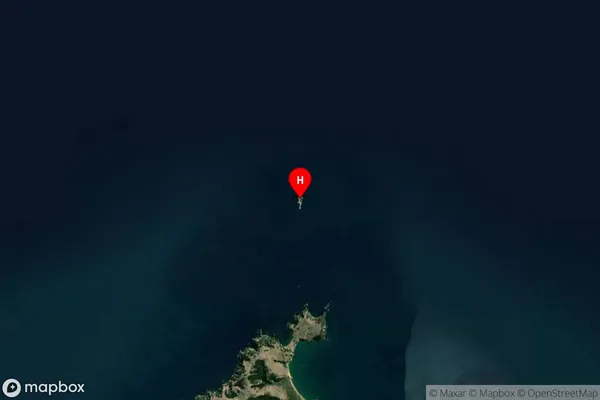
IslandHoruhoru Rock (Gannet Rock) Suburb Map (Satellite)
Country
Main Region in AU
AucklandHoruhoru Rock (Gannet Rock) Region Map

Coordinates
-36.7230282,175.170300242033 (latitude/longitude)Distances
The distance from Horuhoru Rock (Gannet Rock), , Auckland to NZ Top 10 Cities