Horseshoe Island Area, Horseshoe Island Postcode(1148) & Map in Horseshoe Island
Horseshoe Island Area, Horseshoe Island Postcode(1148) & Map in Horseshoe Island, Auckland, New Zealand
Horseshoe Island, Auckland, New Zealand
Horseshoe Island Postcodes
Horseshoe Island Area (estimated)
0.0 square kilometersHorseshoe Island Population (estimated)
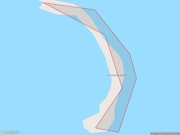
0 people live in Horseshoe Island, Rodney, NZHorseshoe Island Suburb Area Map (Polygon)
Horseshoe Island Introduction
Horseshoe Island is a small, uninhabited island located in the Hauraki Gulf, just off the coast of Auckland, New Zealand. It is known for its unique horseshoe shape and is a popular destination for boat trips and wildlife watching. The island is home to a variety of bird species, including the rare New Zealand storm petrel. It is also a popular spot for scuba diving and snorkeling due to its clear waters and diverse marine life.Region
Major City
Suburb Name
Horseshoe IslandOther Name(s)
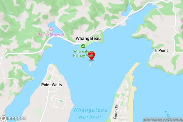
Whangateau HarbourHorseshoe Island Area Map (Street)
Local Authority
AucklandFull Address
Horseshoe Island, Auckland, New ZealandAddress Type
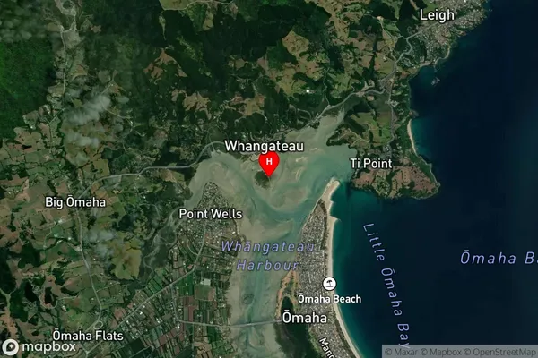
IslandHorseshoe Island Suburb Map (Satellite)
Country
Main Region in AU
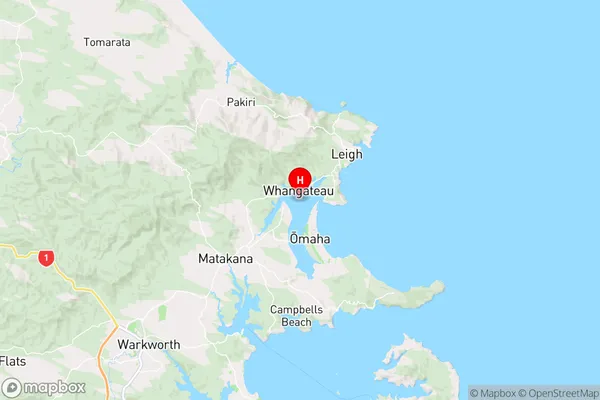
AucklandHorseshoe Island Region Map
Coordinates
-36.3185586,174.767966249782 (latitude/longitude)Distances
The distance from Horseshoe Island, , Auckland to NZ Top 10 Cities