Horonui Island Area, Horonui Island Postcode & Map in Horonui Island
Horonui Island Area, Horonui Island Postcode & Map in Horonui Island, Area outside Territorial Authority, New Zealand
Horonui Island, Area outside Territorial Authority, New Zealand
Horonui Island Area (estimated)
0.0 square kilometersHoronui Island Population (estimated)
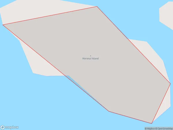
0 people live in Horonui Island, Northland, NZHoronui Island Suburb Area Map (Polygon)
Horonui Island Introduction
Horonui Island is a privately owned island in the Bay of Islands, Northland, New Zealand. It is known for its stunning natural beauty, including pristine beaches, lush forests, and diverse wildlife. The island has a population of around 50 people and is accessible by boat or helicopter. It is a popular destination for outdoor activities such as hiking, fishing, and kayaking, and has a range of accommodation options, including a luxury lodge and a camping ground.Region
Suburb Name
Horonui IslandOther Name(s)
Cavalli IslandsHoronui Island Area Map (Street)

Local Authority
Area outside Territorial AuthorityFull Address
Horonui Island, Area outside Territorial Authority, New ZealandAddress Type
IslandHoronui Island Suburb Map (Satellite)

Country
Main Region in AU
NorthlandHoronui Island Region Map

Coordinates
-34.9705061,173.934743508453 (latitude/longitude)Distances
The distance from Horonui Island, , Area outside Territorial Authority to NZ Top 10 Cities