Horomamae / Owen Island Area, Horomamae / Owen Island Postcode & Map in Horomamae / Owen Island
Horomamae / Owen Island Area, Horomamae / Owen Island Postcode & Map in Horomamae / Owen Island, Southland District, New Zealand
Horomamae / Owen Island, Southland District, New Zealand
Horomamae / Owen Island Area (estimated)
0.4 square kilometersHoromamae / Owen Island Population (estimated)
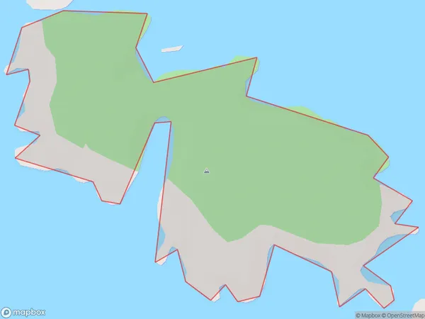
0 people live in Horomamae / Owen Island, Southland, NZHoromamae / Owen Island Suburb Area Map (Polygon)
Horomamae / Owen Island Introduction
Horomamae / Owen Island is a small island located in Fiordland National Park, Southland, New Zealand. It is part of the Southern Alps and is surrounded by stunning mountain scenery. The island is home to a variety of wildlife, including kea, tui, and penguins. The island has a peaceful and tranquil atmosphere, and is a popular destination for hiking, camping, and fishing.Region
Suburb Name
Horomamae / Owen IslandOther Name(s)
Horomamae, Owen IslandHoromamae / Owen Island Area Map (Street)

Local Authority
Southland DistrictFull Address
Horomamae / Owen Island, Southland District, New ZealandAddress Type
IslandHoromamae / Owen Island Suburb Map (Satellite)

Country
Main Region in AU
SouthlandHoromamae / Owen Island Region Map

Coordinates
-47.12491555,168.15733001795 (latitude/longitude)Distances
The distance from Horomamae / Owen Island, , Southland District to NZ Top 10 Cities