Horomaka Island Area, Horomaka Island Postcode(8011) & Map in Horomaka Island
Horomaka Island Area, Horomaka Island Postcode(8011) & Map in Horomaka Island, Christchurch City, New Zealand
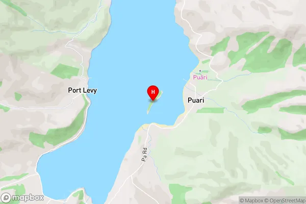
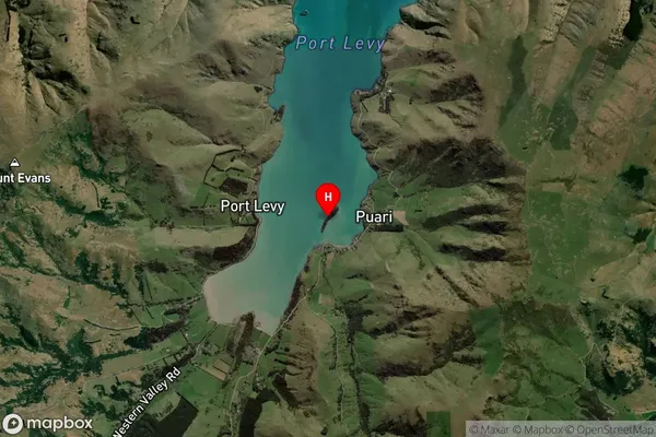
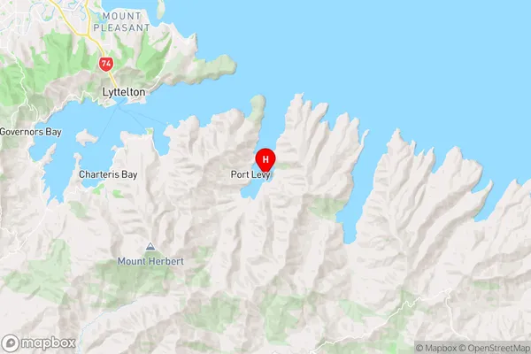
Horomaka Island, Christchurch City, New Zealand
Horomaka Island Postcodes
Horomaka Island Area (estimated)
0.0 square kilometersHoromaka Island Population (estimated)
0 people live in Horomaka Island, Banks Peninsula Community, NZHoromaka Island Suburb Area Map (Polygon)

Horomaka Island Introduction
Horomaka Island is a small island located in the Lyttelton Harbour of Canterbury, New Zealand. It is a popular spot for fishing, boating, and swimming due to its clear waters and scenic surroundings. The island has a population of around 50 people and is accessible by a short ferry ride from Lyttelton.Region
Major City
Suburb Name
Horomaka IslandOther Name(s)
Port Levy (Potiriwi) / KoukourarataHoromaka Island Area Map (Street)
Local Authority
Christchurch CityFull Address
Horomaka Island, Christchurch City, New ZealandAddress Type
IslandHoromaka Island Suburb Map (Satellite)
Country
Main Region in AU
CanterburyHoromaka Island Region Map
Coordinates
-43.6502836,172.830580450587 (latitude/longitude)Distances
The distance from Horomaka Island, , Christchurch City to NZ Top 10 Cities