Horahora Kakahu Island Area, Horahora Kakahu Island Postcode & Map in Horahora Kakahu Island
Horahora Kakahu Island Area, Horahora Kakahu Island Postcode & Map in Horahora Kakahu Island, Marlborough District, New Zealand
Horahora Kakahu Island, Marlborough District, New Zealand
Horahora Kakahu Island Area (estimated)
0.0 square kilometersHorahora Kakahu Island Population (estimated)
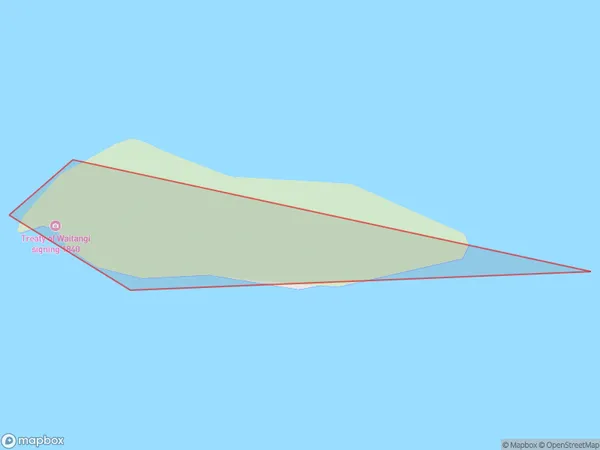
0 people live in Horahora Kakahu Island, Marlborough, NZHorahora Kakahu Island Suburb Area Map (Polygon)
Horahora Kakahu Island Introduction
Horahora Kakahu Island is a small, uninhabited island located in the Marlborough Sounds of New Zealand. It is part of the Kakahu Island Group and is known for its scenic beauty, including lush forests, crystal-clear waters, and stunning sunsets. The island is a popular spot for hiking, kayaking, and wildlife watching, with a variety of bird species and marine life calling it home.Region
Suburb Name
Horahora Kakahu Island (Maori Name: Horahora Kākahu Island)Other Name(s)
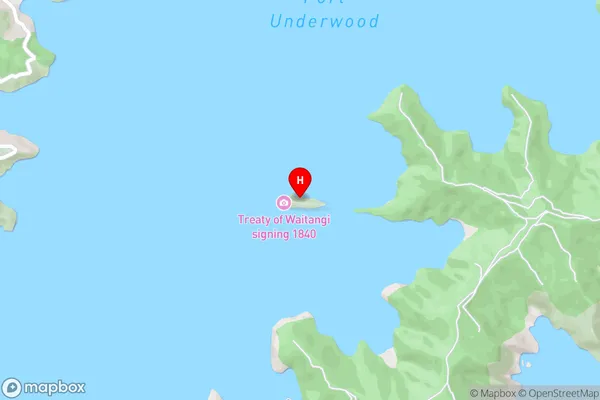
Port UnderwoodHorahora Kakahu Island Area Map (Street)
Local Authority
Marlborough DistrictFull Address
Horahora Kakahu Island, Marlborough District, New ZealandAddress Type
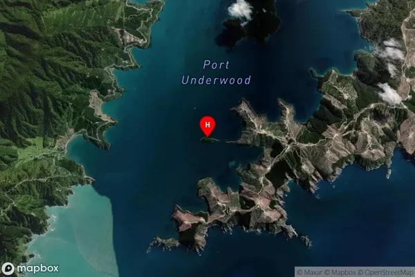
IslandHorahora Kakahu Island Suburb Map (Satellite)
Country
Main Region in AU
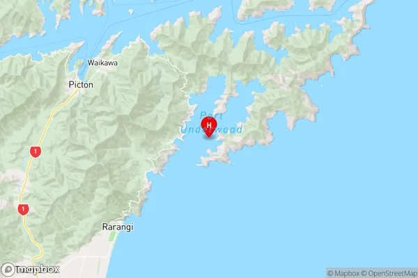
MarlboroughHorahora Kakahu Island Region Map
Coordinates
-41.331257,174.133179423784 (latitude/longitude)Distances
The distance from Horahora Kakahu Island, , Marlborough District to NZ Top 10 Cities