Honepoto Rock Area, Honepoto Rock Postcode & Map in Honepoto Rock
Honepoto Rock Area, Honepoto Rock Postcode & Map in Honepoto Rock, Area outside Territorial Authority, New Zealand
Honepoto Rock, Area outside Territorial Authority, New Zealand
Honepoto Rock Area (estimated)
0.0 square kilometersHonepoto Rock Population (estimated)
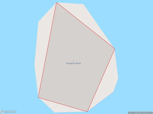
0 people live in Honepoto Rock, Waikato, NZHonepoto Rock Suburb Area Map (Polygon)
Honepoto Rock Introduction
Honepoto Rock is a large erratic rock located in the Hauraki Plains of Waikato, New Zealand. It is a popular destination for rock climbers and has a distinctive shape that resembles a human figure. The rock is believed to have formed over millions of years due to volcanic activity and erosion.Region
Suburb Name
Honepoto RockOther Name(s)
Taiharuru BayHonepoto Rock Area Map (Street)

Local Authority
Area outside Territorial AuthorityFull Address
Honepoto Rock, Area outside Territorial Authority, New ZealandAddress Type
IslandHonepoto Rock Suburb Map (Satellite)

Country
Main Region in AU
WaikatoHonepoto Rock Region Map

Coordinates
-36.6122418,175.565183964304 (latitude/longitude)Distances
The distance from Honepoto Rock, , Area outside Territorial Authority to NZ Top 10 Cities