Hokoromea Island Area, Hokoromea Island Postcode(1148) & Map in Hokoromea Island
Hokoromea Island Area, Hokoromea Island Postcode(1148) & Map in Hokoromea Island, Auckland, New Zealand
Hokoromea Island, Auckland, New Zealand
Hokoromea Island Postcodes
Hokoromea Island Area (estimated)
0.1 square kilometersHokoromea Island Population (estimated)
0 people live in Hokoromea Island, Aotea Great Barrier, NZHokoromea Island Suburb Area Map (Polygon)
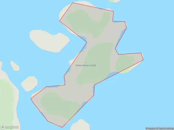
Hokoromea Island Introduction
Hokoromea Island is a small, uninhabited island in the Hauraki Gulf, located off the coast of Auckland, New Zealand. It is known for its unique biodiversity, including rare bird species and plant life. The island is part of the Waitemata Harbour and is accessible by boat or kayak. It has been designated as a wildlife sanctuary and is a popular destination for nature enthusiasts and birdwatchers.Region
Major City
Suburb Name
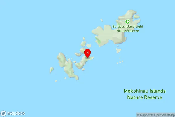
Hokoromea IslandOther Name(s)
Flax Islands, Mokohinau IslandsHokoromea Island Area Map (Street)
Local Authority
AucklandFull Address
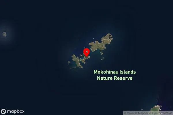
Hokoromea Island, Auckland, New ZealandAddress Type
IslandHokoromea Island Suburb Map (Satellite)
Country
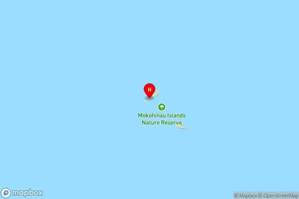
Main Region in AU
AucklandHokoromea Island Region Map
Coordinates
-35.91139605,175.10487581929 (latitude/longitude)Distances
The distance from Hokoromea Island, , Auckland to NZ Top 10 Cities