Glenore Area, Glenore Postcode & Map in Glenore
Glenore Area, Glenore Postcode & Map in Glenore, Clutha District, New Zealand
Glenore, Clutha District, New Zealand
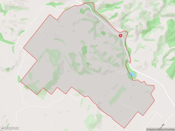
Glenore Area (estimated)
11.7 square kilometersGlenore Population (estimated)
24 people live in Glenore, Otago, NZGlenore Suburb Area Map (Polygon)
Glenore Introduction
Glenore is a small rural community in Milton, Otago, New Zealand. It is located on the banks of the Clutha River, approximately 20 kilometers south of Dunedin. The area was first settled in the 1860s by Scottish immigrants and has a rich history of farming and forestry. Today, Glenore is a popular tourist destination, with many visitors coming to enjoy the scenic views, hiking trails, and local attractions such as the Glenore Distillery and the Otago Central Rail Trail.Region
Major City
Suburb Name
GlenoreOther Name(s)
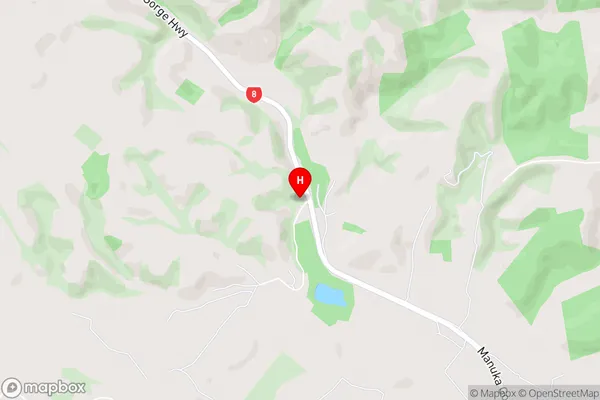
Table MoundGlenore Area Map (Street)
Local Authority
Clutha DistrictFull Address
Glenore, Clutha District, New ZealandAddress Type
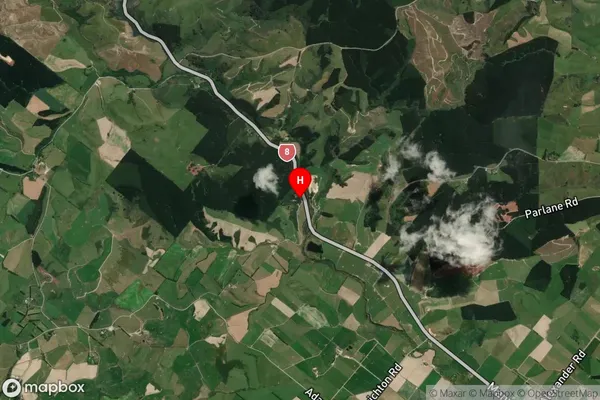
Locality in Town MiltonGlenore Suburb Map (Satellite)
Country
Main Region in AU
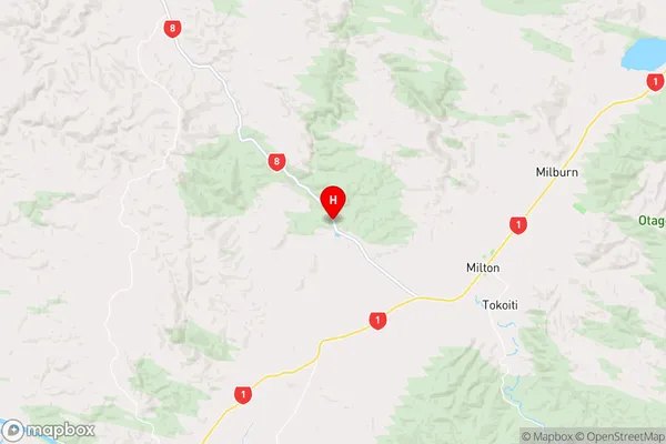
OtagoGlenore Region Map
Coordinates
-46.0971768,169.8697472 (latitude/longitude)Distances
The distance from Glenore, Milton, Clutha District to NZ Top 10 Cities