Heron Island Area, Heron Island Postcode & Map in Heron Island
Heron Island Area, Heron Island Postcode & Map in Heron Island, Southland District, New Zealand
Heron Island, Southland District, New Zealand
Heron Island Area (estimated)
0.1 square kilometersHeron Island Population (estimated)
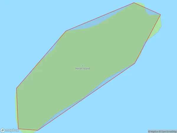
0 people live in Heron Island, Southland, NZHeron Island Suburb Area Map (Polygon)
Heron Island Introduction
Heron Island is a wildlife-filled island in the Foveaux Strait, Southland, New Zealand. It is home to a variety of bird species, including the rare New Zealand bittern and the endangered southern bald eagle. Visitors can explore the island by foot, boat, or helicopter and stay in eco-friendly accommodations. The island is also a popular filming location for movies and TV shows, including The Hobbit and The Lord of the Rings.Region
Suburb Name
Heron IslandOther Name(s)
Tamatea / Dusky SoundHeron Island Area Map (Street)

Local Authority
Southland DistrictFull Address
Heron Island, Southland District, New ZealandAddress Type
IslandHeron Island Suburb Map (Satellite)

Country
Main Region in AU
SouthlandHeron Island Region Map

Coordinates
-45.7958238,166.601175115251 (latitude/longitude)Distances
The distance from Heron Island, , Southland District to NZ Top 10 Cities