Herekopare Island / Te Marama Area, Herekopare Island / Te Marama Postcode & Map in Herekopare Island / Te Marama
Herekopare Island / Te Marama Area, Herekopare Island / Te Marama Postcode & Map in Herekopare Island / Te Marama, Southland District, New Zealand
Herekopare Island / Te Marama, Southland District, New Zealand
Herekopare Island / Te Marama Area (estimated)
0.3 square kilometersHerekopare Island / Te Marama Population (estimated)
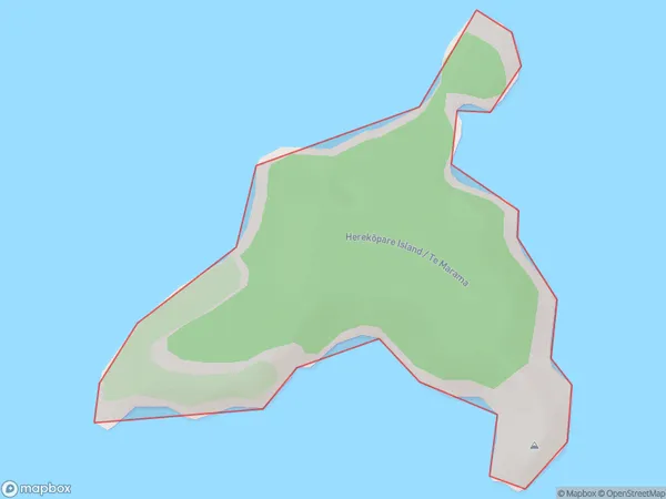
0 people live in Herekopare Island / Te Marama, Southland, NZHerekopare Island / Te Marama Suburb Area Map (Polygon)
Herekopare Island / Te Marama Introduction
Herekopare Island / Te Marama is a small island located in Fiordland National Park, Southland, New Zealand. It is known for its stunning natural beauty, including lush forests, crystal-clear lakes, and breathtaking mountain views. The island is a popular destination for hiking, camping, and wildlife viewing, with a variety of species of birds and animals native to the area. The island also has a rich cultural history, with evidence of early Māori settlement and a historic stone church.Region
Suburb Name
Herekopare Island / Te Marama (Maori Name: Herekōpare Island / Te Marama)Other Name(s)
Herekopare Island, Te MaramaHerekopare Island / Te Marama Area Map (Street)

Local Authority
Southland DistrictFull Address
Herekopare Island / Te Marama, Southland District, New ZealandAddress Type
IslandHerekopare Island / Te Marama Suburb Map (Satellite)

Country
Main Region in AU
SouthlandHerekopare Island / Te Marama Region Map

Coordinates
-46.8661518,168.227752543608 (latitude/longitude)Distances
The distance from Herekopare Island / Te Marama, , Southland District to NZ Top 10 Cities