Hebe Island Area, Hebe Island Postcode & Map in Hebe Island
Hebe Island Area, Hebe Island Postcode & Map in Hebe Island, Southland District, New Zealand
Hebe Island, Southland District, New Zealand
Hebe Island Area (estimated)
0.0 square kilometersHebe Island Population (estimated)
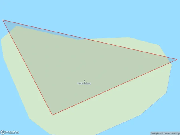
0 people live in Hebe Island, Southland, NZHebe Island Suburb Area Map (Polygon)
Region
Suburb Name
Hebe IslandOther Name(s)
Port Pegasus / PikihatitiHebe Island Area Map (Street)

Local Authority
Southland DistrictFull Address
Hebe Island, Southland District, New ZealandAddress Type
IslandHebe Island Suburb Map (Satellite)

Country
Main Region in AU
SouthlandHebe Island Region Map

Coordinates
-47.217494,167.638799302526 (latitude/longitude)Distances
The distance from Hebe Island, , Southland District to NZ Top 10 Cities