Hawea Island Area, Hawea Island Postcode & Map in Hawea Island
Hawea Island Area, Hawea Island Postcode & Map in Hawea Island, Southland District, New Zealand
Hawea Island, Southland District, New Zealand
Hawea Island Area (estimated)
0.1 square kilometersHawea Island Population (estimated)
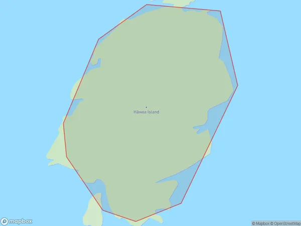
0 people live in Hawea Island, Southland, NZHawea Island Suburb Area Map (Polygon)
Hawea Island Introduction
Hawea Island is a small, rocky island located in Fiordland National Park in Southland, New Zealand. It is known for its stunning natural beauty, including snow-capped mountains, crystal-clear lakes, and lush rainforests. The island is home to a variety of wildlife, including kea, tui, and penguins. Hawea Island is accessible by a scenic ferry ride from Queenstown or Te Anau. Visitors can explore the island's walking tracks, camp overnight, or take a guided tour to learn more about its unique environment and history.Region
Suburb Name
Hawea Island (Maori Name: Hāwea Island)Hawea Island Area Map (Street)

Local Authority
Southland DistrictFull Address
Hawea Island, Southland District, New ZealandAddress Type
IslandHawea Island Suburb Map (Satellite)

Country
Main Region in AU
SouthlandHawea Island Region Map

Coordinates
-45.5910887,166.643610583649 (latitude/longitude)Distances
The distance from Hawea Island, , Southland District to NZ Top 10 Cities