Hautai Island Area, Hautai Island Postcode & Map in Hautai Island
Hautai Island Area, Hautai Island Postcode & Map in Hautai Island, Marlborough District, New Zealand
Hautai Island, Marlborough District, New Zealand
Hautai Island Area (estimated)
0.0 square kilometersHautai Island Population (estimated)
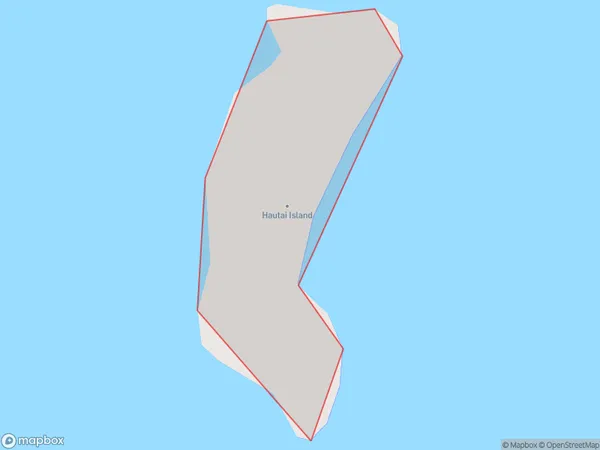
0 people live in Hautai Island, Marlborough, NZHautai Island Suburb Area Map (Polygon)
Hautai Island Introduction
Hautai Island is located in the Marlborough Sounds, Marlborough, New Zealand. It is a popular spot for outdoor activities such as hiking, kayaking, and fishing. The island has a rich history and is home to a variety of wildlife, including seals, penguins, and dolphins. Visitors can also enjoy scenic views from the island's many lookouts.Region
0Suburb Name
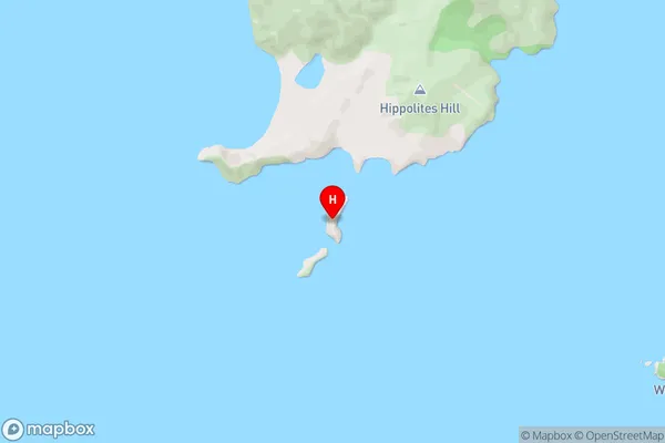
Hautai IslandHautai Island Area Map (Street)
Local Authority
Marlborough DistrictFull Address
Hautai Island, Marlborough District, New ZealandAddress Type
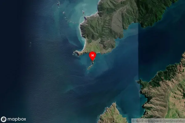
Island in Major Locality Marlborough SoundsHautai Island Suburb Map (Satellite)
Country
Main Region in AU
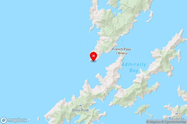
MarlboroughHautai Island Region Map
Coordinates
-40.94515975,173.781136356489 (latitude/longitude)Distances
The distance from Hautai Island, Marlborough Sounds, Marlborough District to NZ Top 10 Cities