Hat Island Area, Hat Island Postcode & Map in Hat Island
Hat Island Area, Hat Island Postcode & Map in Hat Island, Far North District, New Zealand
Hat Island, Far North District, New Zealand
Hat Island Area (estimated)
0.0 square kilometersHat Island Population (estimated)
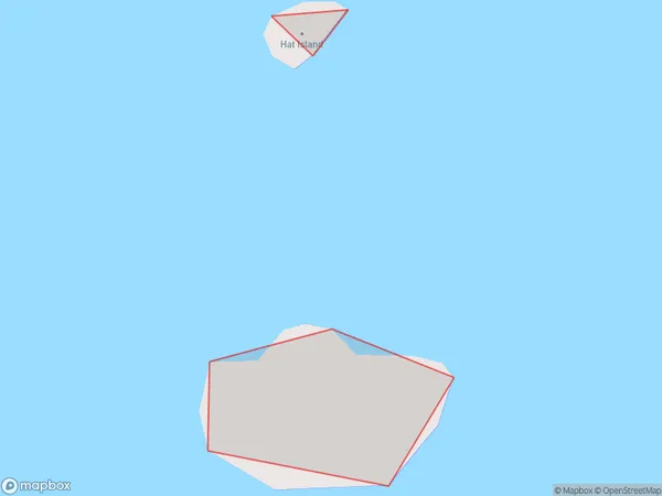
0 people live in Hat Island, Bay of Islands-Whangaroa Community, NZHat Island Suburb Area Map (Polygon)
Hat Island Introduction
Hat Island is a small, uninhabited island in the Bay of Islands, Northland, New Zealand. It is known for its picturesque lighthouse and stunning natural surroundings. The island is a popular tourist destination and is accessible by boat or helicopter.Region
Major City
Suburb Name
Hat IslandOther Name(s)
Bay Of IslandsHat Island Area Map (Street)

Local Authority
Far North DistrictFull Address
Hat Island, Far North District, New ZealandAddress Type
IslandHat Island Suburb Map (Satellite)

Country
Main Region in AU
NorthlandHat Island Region Map

Coordinates
-35.2171868,174.252399580536 (latitude/longitude)Distances
The distance from Hat Island, , Far North District to NZ Top 10 Cities