Haraweka Island Area, Haraweka Island Postcode & Map in Haraweka Island
Haraweka Island Area, Haraweka Island Postcode & Map in Haraweka Island, Far North District, New Zealand
Haraweka Island, Far North District, New Zealand
Haraweka Island Area (estimated)
0.1 square kilometersHaraweka Island Population (estimated)
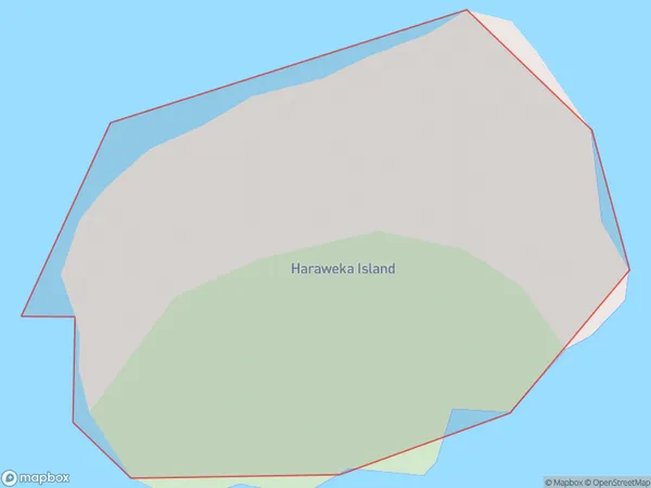
0 people live in Haraweka Island, Northland, NZHaraweka Island Suburb Area Map (Polygon)
Haraweka Island Introduction
Haraweka Island is located in the Bay of Islands, Northland, New Zealand. It is a small, uninhabited island with a rich history and stunning natural beauty. The island was once home to a Māori tribe and has numerous archaeological sites and ruins. Visitors can explore the island by boat or hike its trails and enjoy the breathtaking views of the surrounding sea and islands.Region
Suburb Name
Haraweka IslandOther Name(s)
Cavalli IslandsHaraweka Island Area Map (Street)

Local Authority
Far North DistrictFull Address
Haraweka Island, Far North District, New ZealandAddress Type
IslandHaraweka Island Suburb Map (Satellite)

Country
Main Region in AU
NorthlandHaraweka Island Region Map

Coordinates
-34.98177685,173.956703075962 (latitude/longitude)Distances
The distance from Haraweka Island, , Far North District to NZ Top 10 Cities