Harakeke Island Area, Harakeke Island Postcode & Map in Harakeke Island
Harakeke Island Area, Harakeke Island Postcode & Map in Harakeke Island, Far North District, New Zealand
Harakeke Island, Far North District, New Zealand
Harakeke Island Area (estimated)
0.1 square kilometersHarakeke Island Population (estimated)
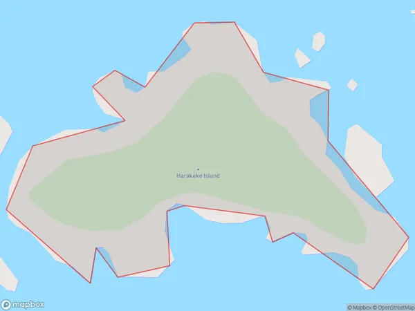
0 people live in Harakeke Island, Bay of Islands-Whangaroa Community, NZHarakeke Island Suburb Area Map (Polygon)
Harakeke Island Introduction
Harakeke Island is a small, uninhabited island located in the Bay of Islands, Northland, New Zealand. It is known for its lush green vegetation, including native trees and shrubs, and its stunning natural beauty. The island is a popular destination for birdwatchers and nature enthusiasts, and it is part of the Harakeke Conservation Park.Region
Major City
Suburb Name
Harakeke IslandHarakeke Island Area Map (Street)

Local Authority
Far North DistrictFull Address
Harakeke Island, Far North District, New ZealandAddress Type
IslandHarakeke Island Suburb Map (Satellite)

Country
Main Region in AU
NorthlandHarakeke Island Region Map

Coordinates
-35.1548055,174.132609403768 (latitude/longitude)Distances
The distance from Harakeke Island, , Far North District to NZ Top 10 Cities