Hapuka Island Area, Hapuka Island Postcode & Map in Hapuka Island
Hapuka Island Area, Hapuka Island Postcode & Map in Hapuka Island, Marlborough District, New Zealand
Hapuka Island, Marlborough District, New Zealand
Hapuka Island Area (estimated)
0.0 square kilometersHapuka Island Population (estimated)
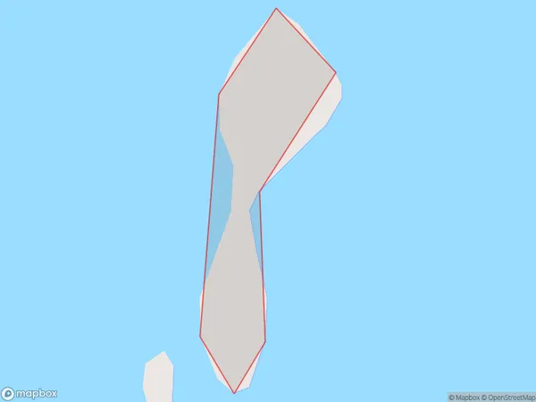
0 people live in Hapuka Island, Marlborough, NZHapuka Island Suburb Area Map (Polygon)
Hapuka Island Introduction
Hapuka Island is a small island located in the Marlborough Sounds of New Zealand. It is known for its stunning natural beauty, including crystal-clear waters, rugged cliffs, and lush forests. The island is home to a variety of wildlife, including seals, penguins, and bird species. Hapuka Island is a popular destination for tourists and outdoor enthusiasts, with several hiking trails and boat tours available. The island also has a resort and a campground for those who wish to stay overnight.Region
0Suburb Name
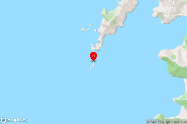
Hapuka Island (Maori Name: Hāpuka Island)Hapuka Island Area Map (Street)
Local Authority
Marlborough DistrictFull Address
Hapuka Island, Marlborough District, New ZealandAddress Type
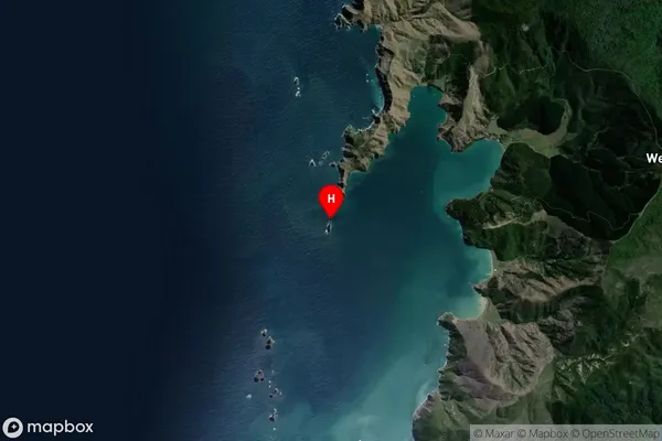
Island in Major Locality Marlborough SoundsHapuka Island Suburb Map (Satellite)
Country
Main Region in AU
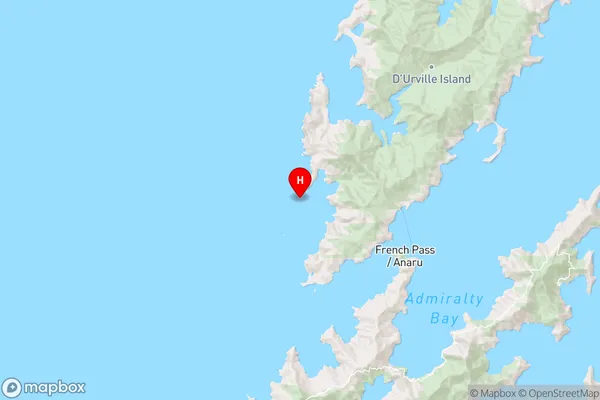
MarlboroughHapuka Island Region Map
Coordinates
-40.89785175,173.771028018155 (latitude/longitude)Distances
The distance from Hapuka Island, Marlborough Sounds, Marlborough District to NZ Top 10 Cities