Hans Island Area, Hans Island Postcode(7811) & Map in Hans Island
Hans Island Area, Hans Island Postcode(7811) & Map in Hans Island, Westland District, New Zealand
Hans Island, Westland District, New Zealand
Hans Island Postcodes
Hans Island Area (estimated)
0.0 square kilometersHans Island Population (estimated)
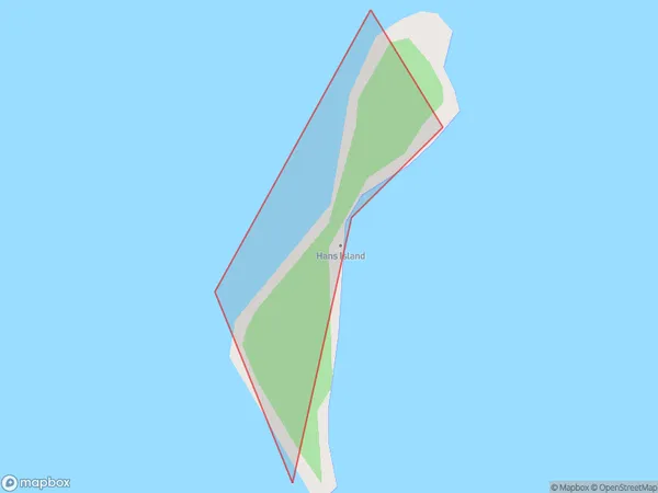
0 people live in Hans Island, West Coast, NZHans Island Suburb Area Map (Polygon)
Region
Suburb Name
Hans IslandOther Name(s)
Lake KaniereHans Island Area Map (Street)

Local Authority
Westland DistrictFull Address
Hans Island, Westland District, New ZealandAddress Type
IslandHans Island Suburb Map (Satellite)

Country
Main Region in AU
West CoastHans Island Region Map

Coordinates
-42.80738465,171.152426185871 (latitude/longitude)Distances
The distance from Hans Island, , Westland District to NZ Top 10 Cities