Glenledi Area, Glenledi Postcode & Map in Glenledi
Glenledi Area, Glenledi Postcode & Map in Glenledi, Clutha District, New Zealand
Glenledi, Clutha District, New Zealand
Glenledi Area (estimated)
67.1 square kilometersGlenledi Population (estimated)
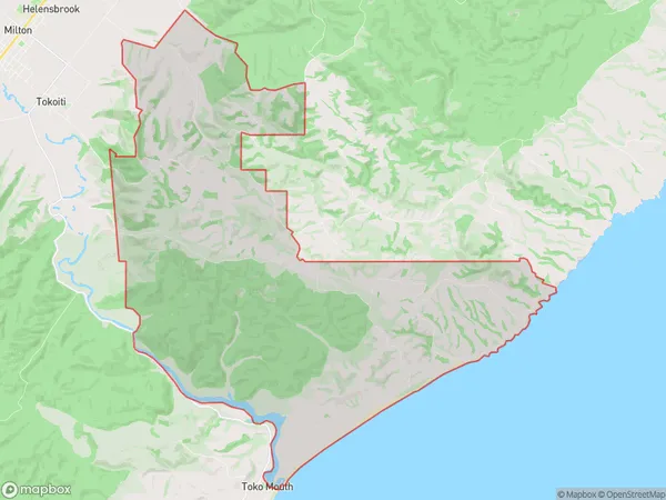
53 people live in Glenledi, Otago, NZGlenledi Suburb Area Map (Polygon)
Glenledi Introduction
Glenledi is a small rural community in Milton, Otago, New Zealand. It is located on the banks of the Clutha River, approximately 10 kilometers south of Milton town center. The community has a population of around 100 people and is known for its scenic surroundings and peaceful atmosphere. The area is popular with outdoor enthusiasts, with many opportunities for hiking, fishing, and hunting.Region
Major City
Suburb Name
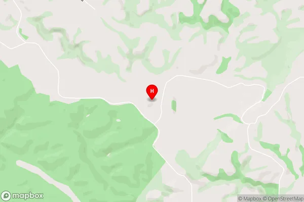
GlenlediGlenledi Area Map (Street)
Local Authority
Clutha DistrictFull Address
Glenledi, Clutha District, New ZealandAddress Type
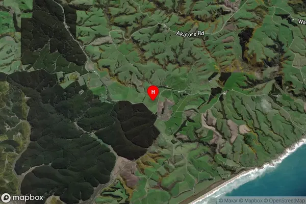
Locality in Town MiltonGlenledi Suburb Map (Satellite)
Country
Main Region in AU
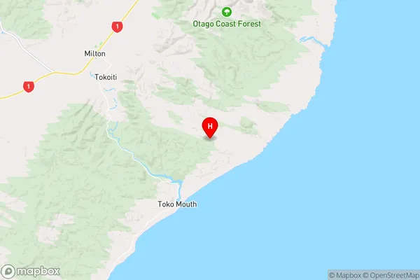
OtagoGlenledi Region Map
Coordinates
-46.1755286,170.0754206 (latitude/longitude)Distances
The distance from Glenledi, Milton, Clutha District to NZ Top 10 Cities