Guano Island Area, Guano Island Postcode & Map in Guano Island
Guano Island Area, Guano Island Postcode & Map in Guano Island, Whangarei District, New Zealand
Guano Island, Whangarei District, New Zealand
Guano Island Area (estimated)
0.0 square kilometersGuano Island Population (estimated)
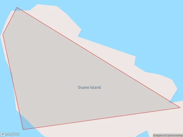
0 people live in Guano Island, Northland, NZGuano Island Suburb Area Map (Polygon)
Guano Island Introduction
Guano Island is a small island in the Bay of Islands, Northland, New Zealand. It is known for its large population of seabirds, including guano deposits. Guano was a valuable commodity used in the production of fertilizer until the late 19th century. The island is now a popular tourist destination and home to a breeding colony of New Zealand fur seals.Region
Suburb Name
Guano IslandOther Name(s)
Bream IslandsGuano Island Area Map (Street)

Local Authority
Whangarei DistrictFull Address
Guano Island, Whangarei District, New ZealandAddress Type
IslandGuano Island Suburb Map (Satellite)

Country
Main Region in AU
NorthlandGuano Island Region Map

Coordinates
-35.8408414,174.593971743861 (latitude/longitude)Distances
The distance from Guano Island, , Whangarei District to NZ Top 10 Cities