Groper Island / Tatapihi Area, Groper Island / Tatapihi Postcode(1148) & Map in Groper Island / Tatapihi
Groper Island / Tatapihi Area, Groper Island / Tatapihi Postcode(1148) & Map in Groper Island / Tatapihi, Auckland, New Zealand
Groper Island / Tatapihi, Auckland, New Zealand
Groper Island / Tatapihi Postcodes
Groper Island / Tatapihi Area (estimated)
0.0 square kilometersGroper Island / Tatapihi Population (estimated)
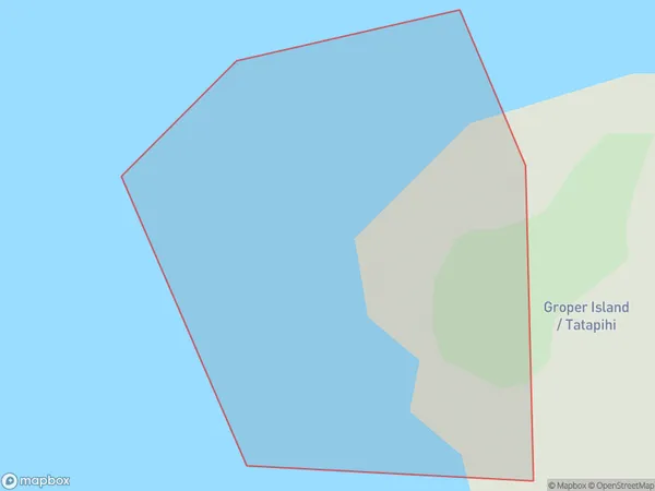
0 people live in Groper Island / Tatapihi, Aotea Great Barrier, NZGroper Island / Tatapihi Suburb Area Map (Polygon)
Groper Island / Tatapihi Introduction
Tatapihi / Groper Island is a small island located off the coast of Auckland, New Zealand. It is known for its unique geological features, including volcanic rock formations and a large colony of seabirds. The island is a popular destination for hiking, birdwatching, and snorkeling, and is part of the Waitematā Harbour Regional Park.Region
Major City
Suburb Name
Groper Island / TatapihiOther Name(s)
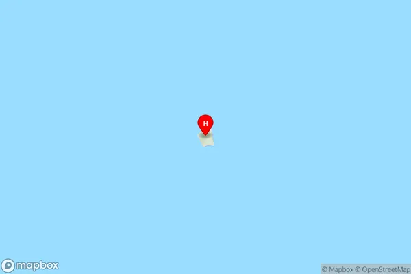
Mokohinau Islands, Groper Island, TatapihiGroper Island / Tatapihi Area Map (Street)
Local Authority
AucklandFull Address
Groper Island / Tatapihi, Auckland, New ZealandAddress Type
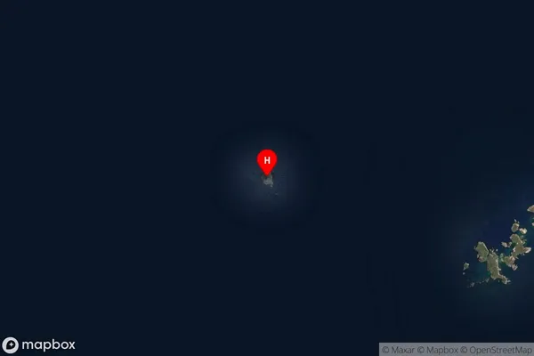
IslandGroper Island / Tatapihi Suburb Map (Satellite)
Country
Main Region in AU
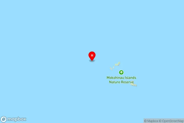
AucklandGroper Island / Tatapihi Region Map
Coordinates
-35.89998905,175.055972137803 (latitude/longitude)Distances
The distance from Groper Island / Tatapihi, , Auckland to NZ Top 10 Cities