Groper Island Area, Groper Island Postcode & Map in Groper Island
Groper Island Area, Groper Island Postcode & Map in Groper Island, Southland District, New Zealand
Groper Island, Southland District, New Zealand
Groper Island Area (estimated)
0.1 square kilometersGroper Island Population (estimated)
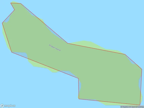
0 people live in Groper Island, Southland, NZGroper Island Suburb Area Map (Polygon)
Groper Island Introduction
Groper Island is a small island located in Fiordland National Park, Southland, New Zealand. It is known for its stunning natural beauty, including lush rainforests, crystal-clear lakes, and breathtaking mountain views. The island is home to a variety of wildlife, including kea, tui, and kiwi birds. Visitors can explore the island on foot or by boat and enjoy activities such as hiking, fishing, and kayaking. Groper Island is also a popular filming location, with several movies and TV shows having been shot on the island over the years.Region
Suburb Name
Groper IslandOther Name(s)
Paterson Inlet/Whaka a Te WeraGroper Island Area Map (Street)

Local Authority
Southland DistrictFull Address
Groper Island, Southland District, New ZealandAddress Type
IslandGroper Island Suburb Map (Satellite)

Country
Main Region in AU
SouthlandGroper Island Region Map

Coordinates
-46.9529324,168.145317119725 (latitude/longitude)Distances
The distance from Groper Island, , Southland District to NZ Top 10 Cities