Green Island Area, Green Island Postcode(9018) & Map in Green Island
Green Island Area, Green Island Postcode(9018) & Map in Green Island, Southland District, New Zealand
Green Island, Southland District, New Zealand
Green Island Postcodes
Green Island Area (estimated)
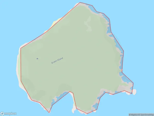
0.9 square kilometersGreen Island Population (estimated)
0 people live in Green Island, Waikato, NZGreen Island Suburb Area Map (Polygon)
Green Island Introduction
Green Island is a small island in the Waikato River, located in the Waikato region of New Zealand. It is known for its lush vegetation, including native trees and shrubs, and its peaceful atmosphere. The island has a population of around 50 people and is accessible by boat or a short walk from the riverbank. It is a popular destination for picnics, hiking, and birdwatching, and has a historic stone church built in the 1840s.Region
Suburb Name
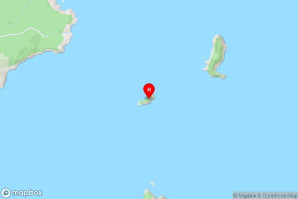
Green IslandGreen Island Area Map (Street)
Local Authority
Southland DistrictFull Address
Green Island, Southland District, New ZealandAddress Type
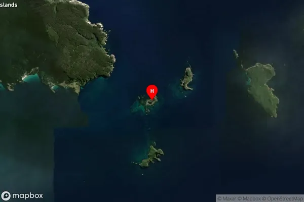
IslandGreen Island Suburb Map (Satellite)
Country
Main Region in AU
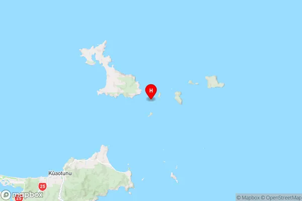
WaikatoGreen Island Region Map
Coordinates
-36.64359865,175.8487928016 (latitude/longitude)Distances
The distance from Green Island, , Southland District to NZ Top 10 Cities